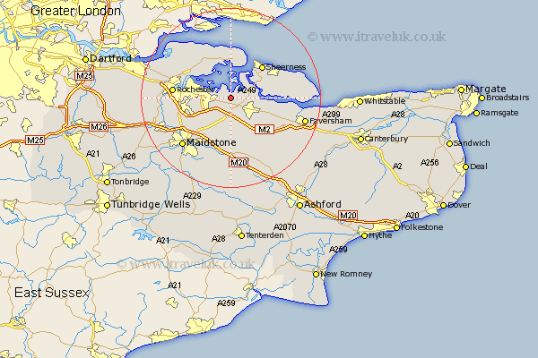
Kent Map Showing Location of Lower Halstow
Population: 1215
District: Swale
Easting: 585607 Northing: 166501
Latitude: 51.37 Longitude: 0.67
 = Lower Halstow
District: Swale
Easting: 585607 Northing: 166501
Latitude: 51.37 Longitude: 0.67
= Lower Halstow
This Lower Halstow map below is supplied by Google. Use the tools in the top left corner to zoom into street level or zoom out for a road map, you may also need to zoom in to see Lower Halstow on the map. Click and drag the map to move around. If the map fails to load try and refresh your browser or zoom in or out (+ or -).
Update - it seems Google no longer allow people to use their maps for free! This Lower Halstow map sometimes loads and sometimes gives a error. I am working on a solution.
Closest 30 Towns or Cities to Lower Halstow (Population over 500)
Upchurch 1.16km Newington 1.86km Bobbing 2.97km Iwade 4.63km Stockbury 5.68km Borden 6.02km Tunstall 6.56km Sittingbourne 6.88km Gillingham 7.22km Bredgar 7.77km Hoo 7.87km Stoke 8.18km Queenborough 8.89km Bapchild 8.9km Grain 9.89km Sheerness 10.15km Chatham 10.57km Detling 10.93km High Halstow 10.97km Lynsted 10.99km Linsted 10.99km Teynham 11.06km Allhallows 11.18km Strood 11.72km Minster 11.8km Boxley 12.32km Rochester 12.63km Hollingbourne 13.03km Doddington 13.11km Bearsted 13.12km