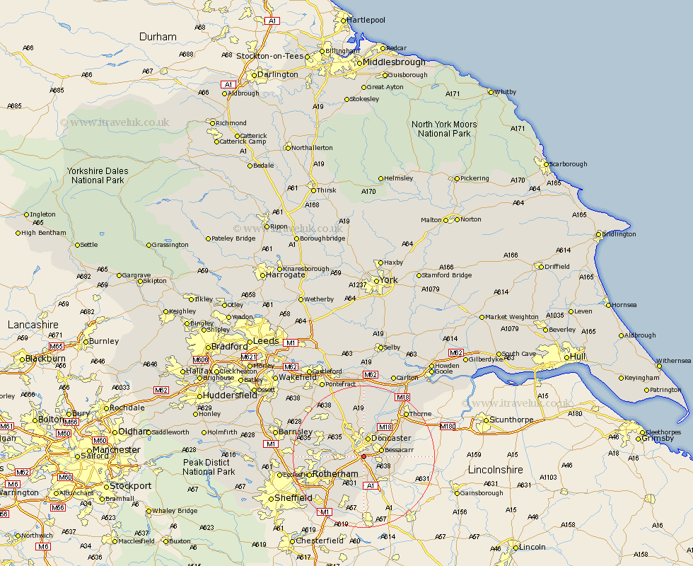
Yorkshire Map Showing Location of Loversall
Population: 128
District: Doncaster
Easting: 457504 Northing: 398886
Latitude: 53.48 Longitude: -1.13
 = Loversall
District: Doncaster
Easting: 457504 Northing: 398886
Latitude: 53.48 Longitude: -1.13
= Loversall
This Loversall map below is supplied by Google. Use the tools in the top left corner to zoom into street level or zoom out for a road map, you may also need to zoom in to see Loversall on the map. Click and drag the map to move around. If the map fails to load try and refresh your browser or zoom in or out (+ or -).
Update - it seems Google no longer allow people to use their maps for free! This Loversall map sometimes loads and sometimes gives a error. I am working on a solution.
Closest 30 Towns or Cities to Loversall (Population over 500)
Wadsworth 2.15km Wadworth 2.15km Warmsworth 3.79km Rossington 4.78km Sprotboro 4.79km Sprotbrough 4.79km Bessacarr 4.96km Doncaster 5.67km Bentley 5.67km Cantley 5.82km Conisborough 5.82km Conisbrough 5.82km Braithwell 7.1km Tickhill 7.49km Armthorpe 7.83km Auckley 7.94km Kirk Sandall 8.12km Maltby 8.62km Fleckney 8.64km Mexborough 8.82km Carcroft 9.85km Adwick le Street 9.85km Bawtry 9.94km Finningley 10.1km Barnby Don 10.27km Barnby Dun 10.27km Austerfield 10.43km Brodsworth 11.52km Bramley 11.52km Thrybergh 11.64km