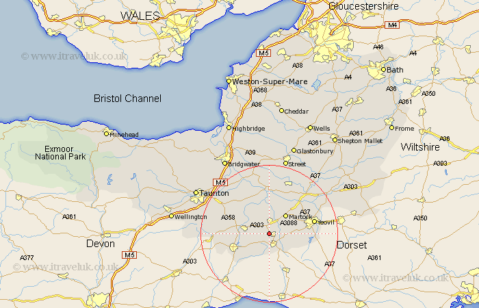
Somerset Map Showing Location of Lopen
Population: 236
District: South Somerset
Easting: 342597 Northing: 113405
Latitude: 50.92 Longitude: -2.82
 = Lopen
District: South Somerset
Easting: 342597 Northing: 113405
Latitude: 50.92 Longitude: -2.82
= Lopen
This Lopen map below is supplied by Google. Use the tools in the top left corner to zoom into street level or zoom out for a road map, you may also need to zoom in to see Lopen on the map. Click and drag the map to move around. If the map fails to load try and refresh your browser or zoom in or out (+ or -).
Update - it seems Google no longer allow people to use their maps for free! This Lopen map sometimes loads and sometimes gives a error. I am working on a solution.
Closest 30 Towns or Cities to Lopen (Population over 500)
South Petherton 3.88km Crewkerne 3.89km West Chinnock 4.67km Haselbury Plucknett 5.03km Misterton 5.68km Ilminster 7.25km Martock 7.26km Kingsbury Episcopi 7.5km Kingsbury 7.5km Ilton 7.93km Montacute 7.93km Tintinhull 8.94km West Coker 9.35km Winsham 9.44km Broadway 10.67km Fivehead 11.61km Long Sutton 11.66km Chard 11.9km Curry Rivel 12.06km Combe Saint Nicholas 12.99km Combe St. Nicholas 12.99km Combe St Nicholas 12.99km Langport 13.02km Ilchester 13.15km Yeovil 13.37km Yeovilton 14.01km Hatch Beauchamp 14.82km North Curry 15.3km Stoke St. Gregory 15.32km Stoke St Gregory 15.32km