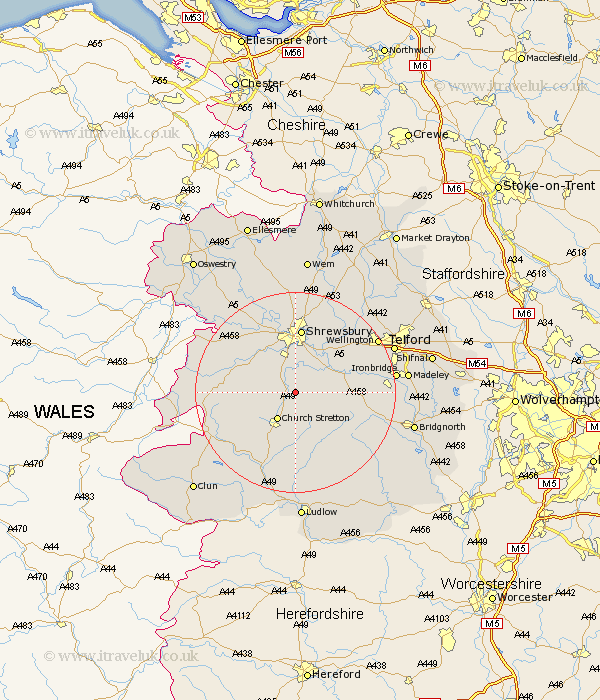
Shropshire Map Showing Location of Longnor
Population: 231
District: Shrewsbury and Atcham
Easting: 349208 Northing: 300549
Latitude: 52.6 Longitude: -2.75
 = Longnor
District: Shrewsbury and Atcham
Easting: 349208 Northing: 300549
Latitude: 52.6 Longitude: -2.75
= Longnor
This Longnor map below is supplied by Google. Use the tools in the top left corner to zoom into street level or zoom out for a road map, you may also need to zoom in to see Longnor on the map. Click and drag the map to move around. If the map fails to load try and refresh your browser or zoom in or out (+ or -).
Update - it seems Google no longer allow people to use their maps for free! This Longnor map sometimes loads and sometimes gives a error. I am working on a solution.
Closest 30 Towns or Cities to Longnor (Population over 500)
Condover 5.56km Berrington 6.5km Church Stretton 6.51km Baystonhill 7.42km Rushbury 9.53km Cressage 9.73km Great Hanwood 10.3km Hanwood 10.3km Pontesbury 10.58km Minsterley 12.92km Shrewsbury 13.03km Much Wenlock 13.51km Ford 14.62km Diddlebury 14.99km Bicton 15.49km Shelve 15.87km Wistanstow 16.29km Westbury 16.37km Wrockwardine 16.63km Ditton Priors 16.65km Rodington 17.34km Broseley 18.1km Hadnall 18.67km Alberbury 18.72km Barrow 19.14km Barrow Bridge 19.14km Wellington 19.27km Craven Arms 19.38km Ironbridge 19.48km High Ercall 19.51km