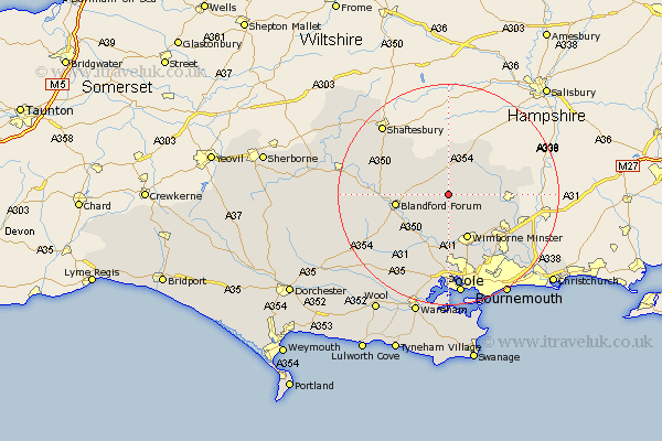
Dorset Map Showing Location of Long Crichel
Population: 81
District: East Dorset
Easting: 397655 Northing: 109374
Latitude: 50.88 Longitude: -2.03
 = Long Crichel
District: East Dorset
Easting: 397655 Northing: 109374
Latitude: 50.88 Longitude: -2.03
= Long Crichel
This Long Crichel map below is supplied by Google. Use the tools in the top left corner to zoom into street level or zoom out for a road map, you may also need to zoom in to see Long Crichel on the map. Click and drag the map to move around. If the map fails to load try and refresh your browser or zoom in or out (+ or -).
Update - it seems Google no longer allow people to use their maps for free! This Long Crichel map sometimes loads and sometimes gives a error. I am working on a solution.
Closest 30 Towns or Cities to Long Crichel (Population over 500)
Tarrant Monkton 3.96km Horton 6.92km Pimperne 7.02km Handley 7.78km Cranborne 8.39km Wimborne 8.87km Wimborne Minster 8.87km Spetisbury 9.44km Blandford 9.54km Blandford Forum 9.54km Corfe Mullen 11.12km Sturminster Marshall 11.36km Stourpaine 11.69km Verwood 11.84km Iwerne Minster 11.9km West Moors 11.94km Fontmell Magna 12.87km Charlton 13.14km Saint Leonards 14.02km St. Leonards 14.02km St Leonards 14.02km Alderholt 14.51km Child Okeford 14.51km Fern Down 14.92km Ferndown 14.92km Lytchett Matravers 15.01km Winterborne Stickland 15.1km Stickland Winterborne 15.1km Shillingstone 15.31km Whitechurch 16.82km