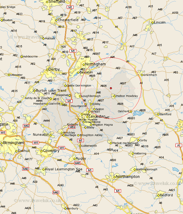
Leicestershire Map Showing Location of Long Clawson
District: Melton
Easting: 473002 Northing: 324937
Latitude: 52.82 Longitude: -0.92
 = Long Clawson
Easting: 473002 Northing: 324937
Latitude: 52.82 Longitude: -0.92
= Long Clawson
This Long Clawson map below is supplied by Google. Use the tools in the top left corner to zoom into street level or zoom out for a road map, you may also need to zoom in to see Long Clawson on the map. Click and drag the map to move around. If the map fails to load try and refresh your browser or zoom in or out (+ or -).
Update - it seems Google no longer allow people to use their maps for free! This Long Clawson map sometimes loads and sometimes gives a error. I am working on a solution.
Closest 30 Towns or Cities to Long Clawson (Population over 500)
Hose 2.16km Ab Kettleby 3.71km Abkettley 3.71km Scalford 3.84km Stathern 5.81km Melton Mowbray 5.99km Eaton 6.97km Waltham 8.06km Waltham on the Wolds 8.06km Waltham-on-the-Wolds 8.06km Frisby on the Wreak 9.86km Frisby-on-the-Wreak 9.86km Frisby 9.86km Hoby 10.84km Redmile 12.13km Wymeswold 12.87km Wimeswould 12.87km Gaddesby 13.41km Rearsby 13.61km Wymondham 14.39km Burton-on-the-Wolds 14.55km Burton on the Wolds 14.55km Burton 14.55km Sileby 16.61km Twyford 16.68km Bottesford 16.76km Queniborough 16.78km Queniboro 16.78km Somerby 17.6km Syston 17.94km