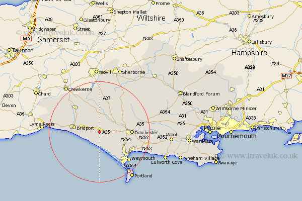
Dorset Map Showing Location of Long Bredy
Population: 202
District: West Dorset
Easting: 356469 Northing: 91030
Latitude: 50.72 Longitude: -2.62
 = Long Bredy
District: West Dorset
Easting: 356469 Northing: 91030
Latitude: 50.72 Longitude: -2.62
= Long Bredy
This Long Bredy map below is supplied by Google. Use the tools in the top left corner to zoom into street level or zoom out for a road map, you may also need to zoom in to see Long Bredy on the map. Click and drag the map to move around. If the map fails to load try and refresh your browser or zoom in or out (+ or -).
Update - it seems Google no longer allow people to use their maps for free! This Long Bredy map sometimes loads and sometimes gives a error. I am working on a solution.
Closest 30 Towns or Cities to Long Bredy (Population over 500)
Abbotsbury 5.68km Maiden Newton 6.58km Portisham 6.58km Portesham 6.58km Loders 7.28km Burton Bradstock 7.28km Bradpole 8.42km Bridport 10.03km Charminster 11.88km Netherbury 11.95km Dorchester 12.91km Beaminster 13.18km West Chickerel 13.83km Chickerell 13.83km Bincombe 13.89km Cerne Abbas 14.04km Chideock 14.08km Overcombe 15.8km Puddletrenthide 15.9km Piddletrenthide 15.9km Preston 15.92km Weymouth 16.7km Broadmayne 16.85km Broadwindsor 17.03km Broadwinsor 17.03km Leigh 17.33km Buckland Newton 17.48km Mosterton 18.19km Puddletown 19.13km Piddletown 19.13km