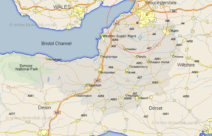
Somerset Map Showing Location of Long Ashton
Population: 3998
Area Size (ha): 125
Easting: 354820 Northing: 170732
Latitude: 51.43 Longitude: -2.65
 = Long Ashton
Area Size (ha): 125
Easting: 354820 Northing: 170732
Latitude: 51.43 Longitude: -2.65
= Long Ashton
This Long Ashton map below is supplied by Google. Use the tools in the top left corner to zoom into street level or zoom out for a road map, you may also need to zoom in to see Long Ashton on the map. Click and drag the map to move around. If the map fails to load try and refresh your browser or zoom in or out (+ or -).
Update - it seems Google no longer allow people to use their maps for free! This Long Ashton map sometimes loads and sometimes gives a error. I am working on a solution.
Closest 30 Towns or Cities to Long Ashton (Population over 500)
Dundry 3.88km Bourton 3.93km Flax Bourton 3.93km Winford 5.56km Portbury 5.93km Wraxall 6.07km Whitchurch 6.86km Great Chew 7.76km Chew Magna 7.76km Nailsea 8.09km Portishead 8.9km Chew Stoke 9.33km Compton Dando 10.79km Publow 10.97km Wrington 10.97km Weston in Gordano 11.04km Weston Down 11.04km Weston 11.04km Keynsham 11.04km Blagdon 12.04km Congresbury 12.77km Yatton 12.83km Temple Cloud 13.48km Clutton 13.75km Clevedon 13.86km Saltford 14.36km Compton Martin 14.82km East Harptree 14.87km Farmboro 15.23km Farmborough 15.23km