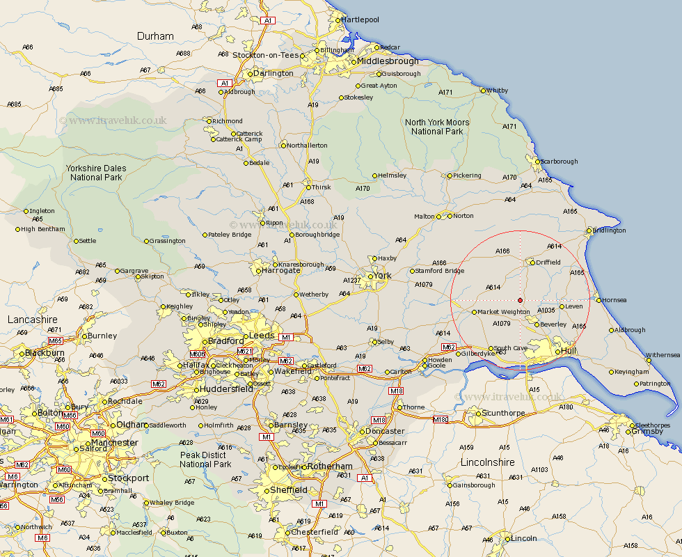
Yorkshire Map Showing Location of Lockington
Population: 542
Easting: 499641 Northing: 445958
Latitude: 53.9 Longitude: -0.48
 = Lockington
Easting: 499641 Northing: 445958
Latitude: 53.9 Longitude: -0.48
= Lockington
This Lockington map below is supplied by Google. Use the tools in the top left corner to zoom into street level or zoom out for a road map, you may also need to zoom in to see Lockington on the map. Click and drag the map to move around. If the map fails to load try and refresh your browser or zoom in or out (+ or -).
Update - it seems Google no longer allow people to use their maps for free! This Lockington map sometimes loads and sometimes gives a error. I am working on a solution.
Closest 30 Towns or Cities to Lockington (Population over 500)
Cherry Burton 3.86km Leconfield 4.3km Leckonfield 4.3km Cranswick 6.45km North Frodingham 7.42km Bishop Burton 7.5km Tickton 7.53km Beverley 8.61km Leven 11.08km Woodmansey 11.35km Brandesburton 12.15km Brandsburton 12.15km Driffield 12.31km Wetwang 12.38km Market Weighton 12.57km Skidby 13.02km Wawne 14.15km Nafferton 14.53km Cottingham 14.54km Willerby 14.98km Beeford 16.01km Dunnington 16.26km South Cave 16.68km Kirk Ella 16.82km Sutton 16.97km Sutton on Hull 16.97km Sutton-on-Hull 16.97km Pocklington 17.85km Skirlaugh Station 17.89km Kilham 18.34km