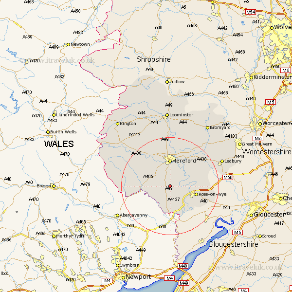
Herefordshire Map Showing Location of Llanwarne
Population: 294
Easting: 350750 Northing: 228235
Latitude: 51.95 Longitude: -2.72
 = Llanwarne
Easting: 350750 Northing: 228235
Latitude: 51.95 Longitude: -2.72
= Llanwarne
This Llanwarne map below is supplied by Google. Use the tools in the top left corner to zoom into street level or zoom out for a road map, you may also need to zoom in to see Llanwarne on the map. Click and drag the map to move around. If the map fails to load try and refresh your browser or zoom in or out (+ or -).
Update - it seems Google no longer allow people to use their maps for free! This Llanwarne map sometimes loads and sometimes gives a error. I am working on a solution.
Closest 30 Towns or Cities to Llanwarne (Population over 500)
Much Birch 1.86km Much Dewchurch 4.35km Broad Oak 7.76km Allensmore 8.71km Bullingham 9.26km Fownhope 9.73km Kingstone 10.9km Walford 10.91km Ross on Wye 10.93km Ross-on-wye 10.93km Ross 10.93km Hereford 11.12km Ewyas Harold 11.42km Goodrich 11.53km Whitchurch 12.02km Mordiford 12.5km Madley 13.01km Weston 13.1km Weston under Penyard 13.1km Weston-under-Penyard 13.1km Upton Bishop 13.71km Lugwardine 13.76km Much Marcle 15.85km Lea 15.86km Moreton-on-Lugg 16.72km Moreton on Lugg 16.72km Moreton 16.72km Sutton 16.84km Burghill 17.03km Credenhill 17.63km