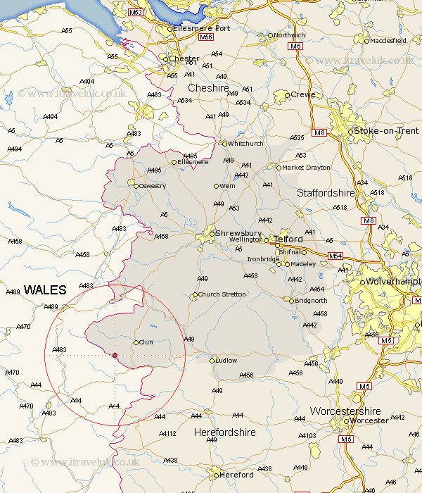
Shropshire Map Showing Location of Llanfair Waterdine
Population: 202
District: South Shropshire
Easting: 324004 Northing: 276769
Latitude: 52.38 Longitude: -3.12
 = Llanfair Waterdine
District: South Shropshire
Easting: 324004 Northing: 276769
Latitude: 52.38 Longitude: -3.12
= Llanfair Waterdine
This Llanfair Waterdine map below is supplied by Google. Use the tools in the top left corner to zoom into street level or zoom out for a road map, you may also need to zoom in to see Llanfair Waterdine on the map. Click and drag the map to move around. If the map fails to load try and refresh your browser or zoom in or out (+ or -).
Update - it seems Google no longer allow people to use their maps for free! This Llanfair Waterdine map sometimes loads and sometimes gives a error. I am working on a solution.
Closest 30 Towns or Cities to Llanfair Waterdine (Population over 500)
Clun 6.77km Bucknell 11.46km North Lydbury 14.62km Lydbury North 14.62km Craven Arms 20.01km Wistanstow 20.32km Chirburg 22.35km Chirbury 22.35km Shelve 24km Ludlow 26.09km Church Stretton 28.35km Diddlebury 28.66km Minsterley 30.44km Caynham 30.78km Rushbury 30.9km Bitterley 31.72km Pontesbury 33.6km Westbury 35.21km Condover 38.67km Alberbury 38.75km Great Hanwood 39.05km Hanwood 39.05km Ditton Priors 39.47km Baystonhill 40.1km Berrington 40.92km Ford 41.22km Cleobury Mortimer 42.99km Cressage 43.79km Bicton 43.89km Llanyblodwel 44.49km