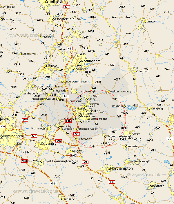
Leicestershire Map Showing Location of Little Stretton
District: Harborough
Easting: 467747 Northing: 298897
Latitude: 52.58 Longitude: -1
 = Little Stretton
Easting: 467747 Northing: 298897
Latitude: 52.58 Longitude: -1
= Little Stretton
This Little Stretton map below is supplied by Google. Use the tools in the top left corner to zoom into street level or zoom out for a road map, you may also need to zoom in to see Little Stretton on the map. Click and drag the map to move around. If the map fails to load try and refresh your browser or zoom in or out (+ or -).
Update - it seems Google no longer allow people to use their maps for free! This Little Stretton map sometimes loads and sometimes gives a error. I am working on a solution.
Closest 30 Towns or Cities to Little Stretton (Population over 500)
Great Glen 2.91km Houghton 3.88km Houghton on the Hill 3.88km Houghton-on-the-Hill 3.88km Billesdon 4.87km Oadby 5.63km Kibworth Harcourt 5.67km Kibworth 5.67km Wigston Magna 6.76km Wigston 6.76km Glen Parka 8.1km Glen Parva 8.1km Countesthorpe 9.74km Blaby 10.3km Leicester 10.58km Leiscester 10.58km Twyford 10.85km Queniboro 11.34km Queniborough 11.34km Braunstone 11.41km Hallaton 11.86km Syston 11.99km Birstall 12.16km Whetstone 12.53km Cosby 12.93km Great Bowden 13.02km Bowden 13.02km Gaddesby 13.17km Lubenham 13.4km Enderby 13.51km