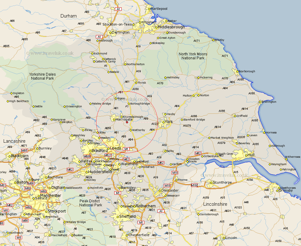
Yorkshire Map Showing Location of Little Ribston
Population: 168
District: Harrogate
Easting: 438263 Northing: 452470
Latitude: 53.97 Longitude: -1.42
 = Little Ribston
District: Harrogate
Easting: 438263 Northing: 452470
Latitude: 53.97 Longitude: -1.42
= Little Ribston
This Little Ribston map below is supplied by Google. Use the tools in the top left corner to zoom into street level or zoom out for a road map, you may also need to zoom in to see Little Ribston on the map. Click and drag the map to move around. If the map fails to load try and refresh your browser or zoom in or out (+ or -).
Update - it seems Google no longer allow people to use their maps for free! This Little Ribston map sometimes loads and sometimes gives a error. I am working on a solution.
Closest 30 Towns or Cities to Little Ribston (Population over 500)
Knaresborough 4.94km Wetherby 5.97km Collingham 7.5km Thorpe Arch 7.79km Thorp Arch 7.79km Harrogate 7.85km Kirk Hammerton 7.85km Hammerton 7.85km Pannal 7.85km Green Hammerton 8.48km Whixley 8.58km Boston Spa 8.61km Harewood 9.21km Bardsey 9.34km East Keswick 9.55km Bramham 10.25km Killinghall 10.34km Weeton 11.28km Scarcroft 11.33km Ouseburn 11.34km Great Ouseburn 11.34km Marton 11.59km Marton le Moor 11.59km Long Marston 12.14km Burton Leonard 12.38km Thorner 12.98km Boroughbridge 13.01km Linton on Ouse 13.17km Linton upon Ouse 13.17km Linton 13.17km