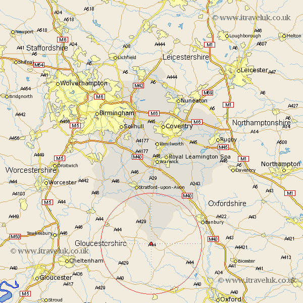
Warwickshire Map Showing Location of Little Compton
Population: 238
District: Stratford-on-Avon
Easting: 426332 Northing: 229919
Latitude: 51.97 Longitude: -1.62
 = Little Compton
District: Stratford-on-Avon
Easting: 426332 Northing: 229919
Latitude: 51.97 Longitude: -1.62
= Little Compton
This Little Compton map below is supplied by Google. Use the tools in the top left corner to zoom into street level or zoom out for a road map, you may also need to zoom in to see Little Compton on the map. Click and drag the map to move around. If the map fails to load try and refresh your browser or zoom in or out (+ or -).
Update - it seems Google no longer allow people to use their maps for free! This Little Compton map sometimes loads and sometimes gives a error. I am working on a solution.
Closest 30 Towns or Cities to Little Compton (Population over 500)
Long Compton 2.94km Shipston-on-Stour 9.26km Shipston on Stour 9.26km Lower Brailes 9.35km Brailes 9.35km Ilmington 13.74km Church Tysoe 15.23km Tysoe 15.23km Middle Tysoe 15.23km Quinton 18.49km Eatington 18.56km Ettington 18.56km Kineton 21.89km Wellesbourne Hastings 24.19km Wellesbourne 24.19km Stratford-upon-Avon 24.75km Stratford-on-Avon 24.75km Stratford 24.75km Stratford upon Avon 24.75km Stratford on Avon 24.75km Lighthorne 25.37km Fenny Compton 25.88km Salford Priors 27.35km Bishops Itchington 28.81km Barford 29.67km Bishops Tachbrook 30.19km Bearley 30.7km Snitterfield 30.7km Great Alne 30.97km Harbury 31.76km