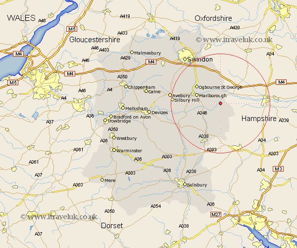
Wiltshire Map Showing Location of Little Bedwyn
Population: 280
District: Kennet
Easting: 428993 Northing: 165054
Latitude: 51.38 Longitude: -1.58
 = Little Bedwyn
District: Kennet
Easting: 428993 Northing: 165054
Latitude: 51.38 Longitude: -1.58
= Little Bedwyn
This Little Bedwyn map below is supplied by Google. Use the tools in the top left corner to zoom into street level or zoom out for a road map, you may also need to zoom in to see Little Bedwyn on the map. Click and drag the map to move around. If the map fails to load try and refresh your browser or zoom in or out (+ or -).
Update - it seems Google no longer allow people to use their maps for free! This Little Bedwyn map sometimes loads and sometimes gives a error. I am working on a solution.
Closest 30 Towns or Cities to Little Bedwyn (Population over 500)
Bedwyn 2.18km Great Bedwyn 2.18km Shalbourne 4.37km Shalbourn 4.37km Ramsbury 5.68km Grafton 6.56km Burbage 8.03km Aldbourne 9.56km Marlborough 9.97km Baydon 11.18km Collingbourne Ducis 12.05km Pewsey 12.84km Chiseldon 15.93km Bishopstone 17.04km Tidworth 17.66km North Tidworth 17.66km Wanborough 18.54km Upavon 19.66km Wroughton 20.3km Broad Hinton 20.59km Ludgershall 20.9km Lugershall 20.9km Enford 21.13km Netheravon 21.71km Broad Town 22.57km Figheldean 23.16km Swindon 23.74km Bulford 24.04km Stratton St. Margaret 25.06km Stratton St Margaret 25.06km