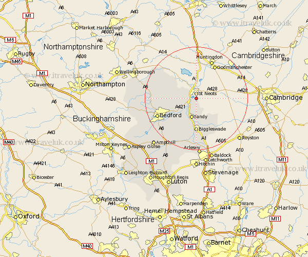
Bedfordshire Map Showing Location of Little Barford
Population: 44
District: Bedford
Easting: 518447 Northing: 257212
Latitude: 52.2 Longitude: -0.27
 = Little Barford
District: Bedford
Easting: 518447 Northing: 257212
Latitude: 52.2 Longitude: -0.27
= Little Barford
This Little Barford map below is supplied by Google. Use the tools in the top left corner to zoom into street level or zoom out for a road map, you may also need to zoom in to see Little Barford on the map. Click and drag the map to move around. If the map fails to load try and refresh your browser or zoom in or out (+ or -).
Update - it seems Google no longer allow people to use their maps for free! This Little Barford map sometimes loads and sometimes gives a error. I am working on a solution.
Closest 30 Towns or Cities to Little Barford (Population over 500)
Roxton 4.34km Tempsford 6.01km Everton 7.76km Great Barford 7.95km Sandy 8.03km Blunham 8.16km Bolnhurst 9.27km Willington 10.08km Potton 10.32km Northill 11.63km Cople 12.21km Cockayne Hatley 12.21km Thurleigh 12.49km Biggleswade 12.98km Riseley 14.71km Clapham 15.79km Bedford 16.33km Langford 16.68km Southill 16.83km Milton Ernest 17.14km Oakley 17.44km Biddenham 17.56km Elstow 17.6km Bromham 17.93km Sharnbrook 18.27km Kempston 18.5km Clifton 18.67km Wilhamstead 18.68km Wilshamstead 18.68km Wilstead 18.68km