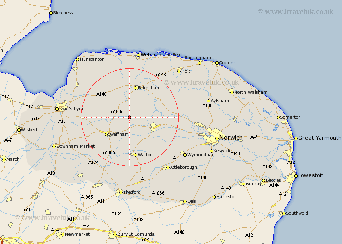
Norfolk Map Showing Location of Litcham
Population: 592
District: Breckland
Easting: 589098 Northing: 316942
Latitude: 52.72 Longitude: 0.8
 = Litcham
District: Breckland
Easting: 589098 Northing: 316942
Latitude: 52.72 Longitude: 0.8
= Litcham
This Litcham map below is supplied by Google. Use the tools in the top left corner to zoom into street level or zoom out for a road map, you may also need to zoom in to see Litcham on the map. Click and drag the map to move around. If the map fails to load try and refresh your browser or zoom in or out (+ or -).
Update - it seems Google no longer allow people to use their maps for free! This Litcham map sometimes loads and sometimes gives a error. I am working on a solution.
Closest 30 Towns or Cities to Litcham (Population over 500)
Mileham 3.84km Great Palgrave 7.15km Palgrave 7.15km Necton 7.5km Beetley 7.86km Castle Acre 8.08km Dereham 9.72km East Dereham 9.72km Colkirk 9.85km North Elmham 10.27km Great Massingham 10.56km Massingham 10.56km Swaffham 11.65km East Rudham 12.45km Ashill 12.98km Shipdham 13km Fakenham 13.16km Yaxham 13.46km Ryburgh 13.61km Great Ryburgh 13.61km Tattersett 13.72km Tatterset 13.72km Sculthorpe 14.86km Narborough 15.06km Bawdeswell 15.82km Syderstone 15.85km Carbrooke 15.86km Carbooke 15.86km Little Snoring 16.28km Foulham 16.36km