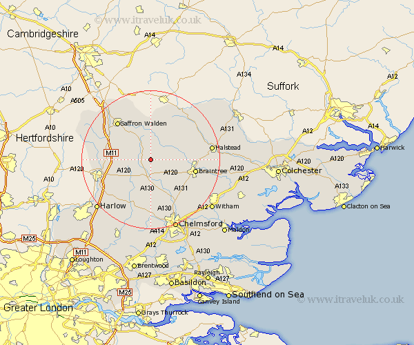
Essex Map Showing Location of Lindsell
Population: 220
District: Uttlesford
Easting: 563893 Northing: 226973
Latitude: 51.92 Longitude: 0.38
 = Lindsell
District: Uttlesford
Easting: 563893 Northing: 226973
Latitude: 51.92 Longitude: 0.38
= Lindsell
This Lindsell map below is supplied by Google. Use the tools in the top left corner to zoom into street level or zoom out for a road map, you may also need to zoom in to see Lindsell on the map. Click and drag the map to move around. If the map fails to load try and refresh your browser or zoom in or out (+ or -).
Update - it seems Google no longer allow people to use their maps for free! This Lindsell map sometimes loads and sometimes gives a error. I am working on a solution.
Closest 30 Towns or Cities to Lindsell (Population over 500)
Thaxted 3.87km Dunmow 3.89km Great Dunmow 3.89km Great Easton 3.9km Stebbing 4.36km Broxted 5.72km Great Bardfield 7.1km Finchingfield 7.2km Great Sampford 7.49km Barnston 7.5km Felsted 7.5km Wethersfield 7.79km Shalford 8.21km Henham 9.33km Debden 9.74km Takeley 9.75km Panfield 9.87km Radwinter 9.88km Elsenham 10.29km Gwimbach 10.33km Winebisc 10.33km Wimbeis 10.33km Wenbech 10.33km Winbeche 10.33km Wimbish 10.33km Wymbyshe 10.33km Newport 11.76km Stansted Apt 12.71km Stansted Mountfitchet 12.71km Stansted 12.71km