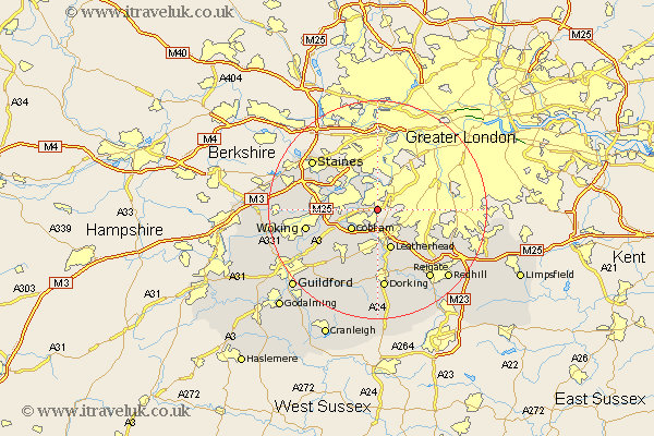
Surrey Map Showing Location of Claygate
Population: 6492
District: Elmbridge
Easting: 514892 Northing: 162561
Latitude: 51.35 Longitude: -0.35
 = Claygate
District: Elmbridge
Easting: 514892 Northing: 162561
Latitude: 51.35 Longitude: -0.35
= Claygate
This Claygate map below is supplied by Google. Use the tools in the top left corner to zoom into street level or zoom out for a road map, you may also need to zoom in to see Claygate on the map. Click and drag the map to move around. If the map fails to load try and refresh your browser or zoom in or out (+ or -).
Update - it seems Google no longer allow people to use their maps for free! This Claygate map sometimes loads and sometimes gives a error. I am working on a solution.
Closest 30 Towns or Cities to Claygate (Population over 500)
Esher 1.16km Oxshott 3.7km Molesey 5.56km Church Cobham 5.93km Cobham 5.93km Sunbury on Thames 6.55km Lower Sunbury 6.55km Sunbury 6.55km Sunbury-on-Thames 6.55km Walton 6.87km Walton upon Thames 6.87km Leatherhead 7.77km Shepperton 7.87km Weybridge 8.31km Byfleet 8.31km Addlestone 9.44km Tadworth 10.99km Chertsey 11.05km Mickleham 11.36km West Horsley 11.58km Effingham 11.65km Ripley 11.87km Horsley 12.54km East Horsley 12.54km Ottershaw 12.73km Banstead 13.26km Woking 13.26km Buckland 14.72km Betchworth 14.72km Send 14.74km