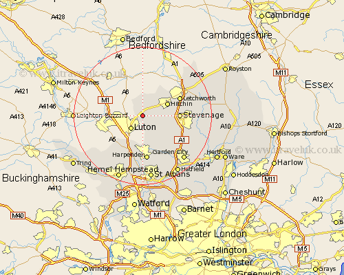
Hertfordshire Map Showing Location of Lilley
Population: 374
District: North Hertfordshire
Easting: 512322 Northing: 225550
Latitude: 51.92 Longitude: -0.37
 = Lilley
District: North Hertfordshire
Easting: 512322 Northing: 225550
Latitude: 51.92 Longitude: -0.37
= Lilley
This Lilley map below is supplied by Google. Use the tools in the top left corner to zoom into street level or zoom out for a road map, you may also need to zoom in to see Lilley on the map. Click and drag the map to move around. If the map fails to load try and refresh your browser or zoom in or out (+ or -).
Update - it seems Google no longer allow people to use their maps for free! This Lilley map sometimes loads and sometimes gives a error. I am working on a solution.
Closest 30 Towns or Cities to Lilley (Population over 500)
Offley 2.29km Great Offley 2.29km Pirton 5.05km Hitchin 7.79km Ickleford 8.83km Kimpton 9.37km Stevenage 10.29km Great Wymondley 10.45km Wymondley 10.45km Markyatestreet 10.9km Markyate 10.9km Graveley 11.58km Letchworth 11.69km Codicote 11.78km Flamstead 12.02km Harpenden 13.03km Welwyn 13.86km Wheathampstead 14.18km Weston 14.2km Baldock 14.58km Knebworth 14.61km Redbourn 14.88km Aston 15.32km Walkern 16km Datchworth 16.62km Sandridge 17.3km Welwyn Garden City 17.3km Garden City 17.3km Great Gaddesden 17.43km Little Gaddesden 18.08km