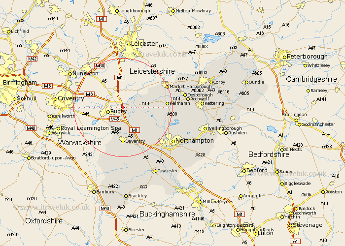
Northamptonshire Map Showing Location of Lilbourne
Population: 363
District: Daventry
Easting: 456712 Northing: 276509
Latitude: 52.38 Longitude: -1.17
 = Lilbourne
District: Daventry
Easting: 456712 Northing: 276509
Latitude: 52.38 Longitude: -1.17
= Lilbourne
This Lilbourne map below is supplied by Google. Use the tools in the top left corner to zoom into street level or zoom out for a road map, you may also need to zoom in to see Lilbourne on the map. Click and drag the map to move around. If the map fails to load try and refresh your browser or zoom in or out (+ or -).
Update - it seems Google no longer allow people to use their maps for free! This Lilbourne map sometimes loads and sometimes gives a error. I am working on a solution.
Closest 30 Towns or Cities to Lilbourne (Population over 500)
Yelvertoft 3.86km Kilsby 5.56km Crick 6km Barby 7.74km Welford 8.74km West Haddon 8.78km Welton 11.18km Braunston 11.35km Long Buckby 11.49km Naseby 12.44km Guilsborough 12.61km East Haddon 13.77km Daventry 14.82km Clipston 15.16km Spratton 16.48km Flore 18.47km Badby 18.56km Brixworth 19.57km Weedon 19.73km Weedon Beck 19.73km Harpole 20.82km Boughton 21.26km Pitsford 21.36km Bugbrooke 22.79km Kislingbury 22.98km Moulton 24.22km Northampton 24.3km Desborough 24.38km Walgrave 24.41km Byfield 24.51km