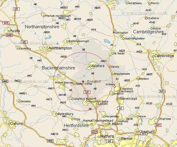
Bedfordshire Map Showing Location of Lidlington
Population: 1145
District: Mid Bedfordshire
Easting: 499457 Northing: 238249
Latitude: 52.03 Longitude: -0.55
 = Lidlington
District: Mid Bedfordshire
Easting: 499457 Northing: 238249
Latitude: 52.03 Longitude: -0.55
= Lidlington
This Lidlington map below is supplied by Google. Use the tools in the top left corner to zoom into street level or zoom out for a road map, you may also need to zoom in to see Lidlington on the map. Click and drag the map to move around. If the map fails to load try and refresh your browser or zoom in or out (+ or -).
Update - it seems Google no longer allow people to use their maps for free! This Lidlington map sometimes loads and sometimes gives a error. I am working on a solution.
Closest 30 Towns or Cities to Lidlington (Population over 500)
Marston Moretaine 1.86km Ampthill 3.42km Cranfield 5.05km Flitwick 5.88km Aspley Guise 5.99km Houghton Conquest 5.99km Wootton 6.01km Maulden 7.09km Woburn 7.19km Flitton 7.78km Westoning 8.7km Kempston 8.7km Wilstead 8.8km Wilshamstead 8.8km Wilhamstead 8.8km Willshamstead 8.8km Pulloxhill 8.82km Haynes 9.31km Clophill 9.31km Elstow 9.35km Silsoe 9.85km Toddington 11.18km Biddenham 11.63km Bedford 12.1km Campton and Chicksands 12.54km Barton 13km Barton in the Clay 13km Heath and Reach 13.06km Gravenhurst 13.08km Hockliffe 13.17km