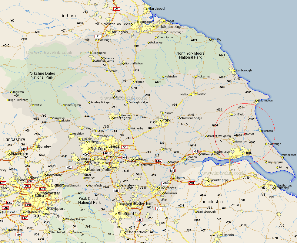
Yorkshire Map Showing Location of Leven
Population: 2002
Area Size (ha): 50
Easting: 510634 Northing: 444347
Latitude: 53.88 Longitude: -0.32
 = Leven
Area Size (ha): 50
Easting: 510634 Northing: 444347
Latitude: 53.88 Longitude: -0.32
= Leven
This Leven map below is supplied by Google. Use the tools in the top left corner to zoom into street level or zoom out for a road map, you may also need to zoom in to see Leven on the map. Click and drag the map to move around. If the map fails to load try and refresh your browser or zoom in or out (+ or -).
Update - it seems Google no longer allow people to use their maps for free! This Leven map sometimes loads and sometimes gives a error. I am working on a solution.
Closest 30 Towns or Cities to Leven (Population over 500)
Brandesburton 3.87km Brandsburton 3.87km Tickton 4.74km Beverley 8.6km Skirlaugh Station 8.6km Woodmansey 8.6km Dunnington 8.61km Leckonfield 8.93km Leconfield 8.93km Wawne 9.52km Beeford 9.83km Hornsea 10km Cranswick 10.65km Lockington 11.08km Sutton on Hull 11.12km Sutton 11.12km Sutton-on-Hull 11.12km Skipsea 11.35km Cottingham 11.95km Cherry Burton 12.16km Bishop Burton 13.25km Hull 14.12km Sproatley 14.15km North Frodingham 14.32km Skidby 14.85km Preston 15.06km Aldbrough 15.06km Nafferton 15.46km Willerby 15.64km Driffield 15.7km