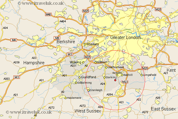
Surrey Map Showing Location of Leigh
Population: 856
District: Mole Valley
Easting: 523416 Northing: 146072
Latitude: 51.2 Longitude: -0.23
 = Leigh
District: Mole Valley
Easting: 523416 Northing: 146072
Latitude: 51.2 Longitude: -0.23
= Leigh
This Leigh map below is supplied by Google. Use the tools in the top left corner to zoom into street level or zoom out for a road map, you may also need to zoom in to see Leigh on the map. Click and drag the map to move around. If the map fails to load try and refresh your browser or zoom in or out (+ or -).
Update - it seems Google no longer allow people to use their maps for free! This Leigh map sometimes loads and sometimes gives a error. I am working on a solution.
Closest 30 Towns or Cities to Leigh (Population over 500)
Reigate 3.88km Betchworth 3.88km Buckland 3.88km Salfords 4.65km Charlwood 5.68km Redhill 5.94km Horley 5.94km Holmwood 6.1km Newdigate 6.56km Dorking 7.21km Mickleham 8.04km Westcott 8.34km Nutfield 8.34km Tadworth 9.26km Capel 9.42km Bletchingley 10km Wotton 10.45km Leatherhead 10.93km Ockley 11.01km Abinger 11.76km Burstow 11.89km Godstone 12.18km Horne 12.19km Caterham 12.81km Effingham 12.87km Banstead 13.78km Tandridge 14.41km East Horsley 15km Horsley 15km Oxshott 15.31km