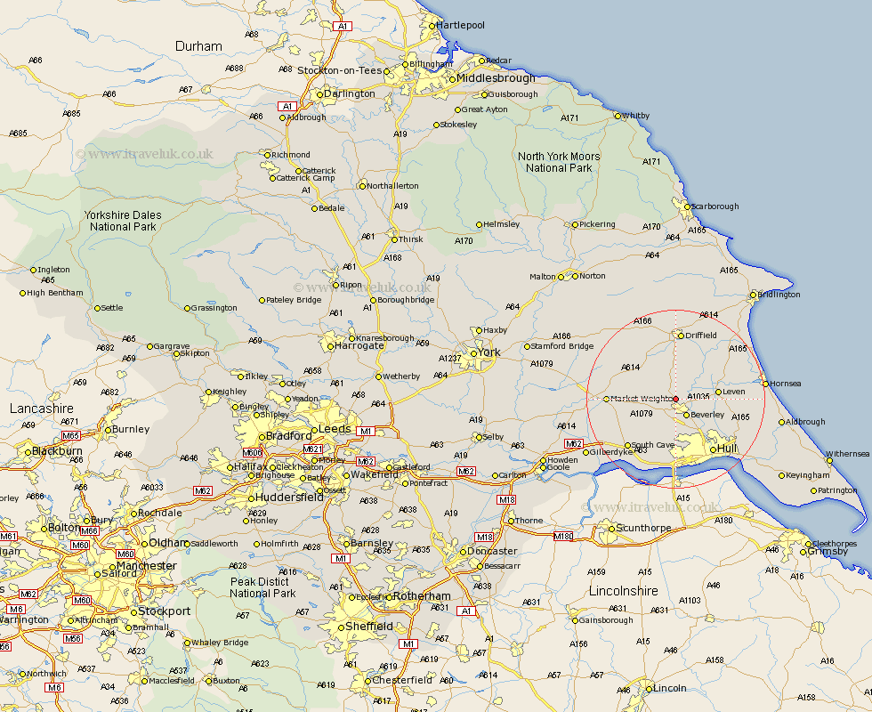
Yorkshire Map Showing Location of Leconfield
Population: 1745
Area Size (ha): 357
Easting: 501912 Northing: 442301
Latitude: 53.87 Longitude: -0.45
 = Leconfield
Area Size (ha): 357
Easting: 501912 Northing: 442301
Latitude: 53.87 Longitude: -0.45
= Leconfield
This Leconfield map below is supplied by Google. Use the tools in the top left corner to zoom into street level or zoom out for a road map, you may also need to zoom in to see Leconfield on the map. Click and drag the map to move around. If the map fails to load try and refresh your browser or zoom in or out (+ or -).
Update - it seems Google no longer allow people to use their maps for free! This Leconfield map sometimes loads and sometimes gives a error. I am working on a solution.
Closest 30 Towns or Cities to Leconfield (Population over 500)
Leconfield 0km Leckonfield 0km Cherry Burton 3.28km Lockington 4.3km Beverley 4.31km Tickton 4.37km Bishop Burton 4.96km Woodmansey 7.08km Leven 8.93km Cranswick 9.33km Skidby 9.34km Wawne 9.9km Cottingham 10.25km Willerby 11.12km Brandesburton 11.29km Brandsburton 11.29km North Frodingham 11.33km Sutton on Hull 12.75km Sutton-on-Hull 12.75km Sutton 12.75km Kirk Ella 12.98km Market Weighton 14.21km Skirlaugh Station 14.25km Hull 14.43km South Cave 14.85km Anlaby 14.87km Swanland 14.99km Driffield 15.61km Dunnington 16.04km Beeford 16.36km