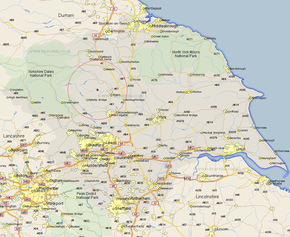
Yorkshire Map Showing Location of Laverton
Population: 265
District: Harrogate
Easting: 422857 Northing: 472762
Latitude: 54.15 Longitude: -1.65
 = Laverton
District: Harrogate
Easting: 422857 Northing: 472762
Latitude: 54.15 Longitude: -1.65
= Laverton
This Laverton map below is supplied by Google. Use the tools in the top left corner to zoom into street level or zoom out for a road map, you may also need to zoom in to see Laverton on the map. Click and drag the map to move around. If the map fails to load try and refresh your browser or zoom in or out (+ or -).
Update - it seems Google no longer allow people to use their maps for free! This Laverton map sometimes loads and sometimes gives a error. I am working on a solution.
Closest 30 Towns or Cities to Laverton (Population over 500)
Kirkby Malzeard 1.86km Grewelthorpe 3.7km Masham 7.42km West Tanfield 7.77km Tanfield 7.77km Ripon 9.44km Bewerley 10.62km Dacre 11.94km Bishop Monkton 12.27km Monkton 12.27km Birstwith 13.15km Darley 13.38km Burton Leonard 13.47km Hampsthwaite 15.18km Dishforth 15.2km Bedale 15.44km Killinghall 16.2km Crakehall 16.82km Topcliffe 17.75km Boroughbridge 17.9km Middleham 18.36km Leyburn 19.89km Harrogate 20.04km Knaresborough 20.52km Marton 20.66km Marton le Moor 20.66km Bradley 21.9km Thirsk 21.9km Pannal 23.51km Grassington 23.62km