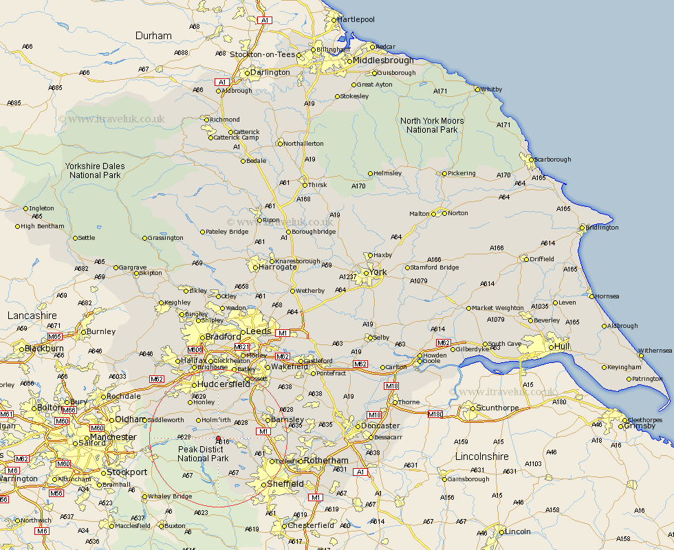
Yorkshire Map Showing Location of Langsett
Population: 161
District: Barnsley
Easting: 421003 Northing: 400441
Latitude: 53.5 Longitude: -1.68
 = Langsett
District: Barnsley
Easting: 421003 Northing: 400441
Latitude: 53.5 Longitude: -1.68
= Langsett
This Langsett map below is supplied by Google. Use the tools in the top left corner to zoom into street level or zoom out for a road map, you may also need to zoom in to see Langsett on the map. Click and drag the map to move around. If the map fails to load try and refresh your browser or zoom in or out (+ or -).
Update - it seems Google no longer allow people to use their maps for free! This Langsett map sometimes loads and sometimes gives a error. I am working on a solution.
Closest 30 Towns or Cities to Langsett (Population over 500)
Penistone 4.78km Dunford Bridge 4.78km Stocksbridge 5.82km Denby Dale 7.5km Holmfirth 7.83km Silkstone 8.56km Shepley 9.52km Cawthorne 9.93km Wortley 10.1km Dodworth 10.59km Bradfield 10.78km Shelley 11.12km Kirkburton 11.17km Holme 11.37km Wharncliffe 11.53km Oughtibridge 11.53km Wharncliffe Side 11.53km Birdwell 13.23km Worsborough 13.36km Worsbrough 13.36km Emley 13.39km Honley 13.53km Darton 13.57km Barnsley 14.34km Meltham 14.39km Tankersley 14.45km West Bretton 15.09km Bretton 15.09km Hoyland 15.43km Hoyland Nether 15.43km