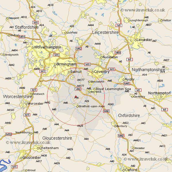
Warwickshire Map Showing Location of Langley
Population: 150
District: Stratford-on-Avon
Easting: 419340 Northing: 261395
Latitude: 52.25 Longitude: -1.72
 = Langley
District: Stratford-on-Avon
Easting: 419340 Northing: 261395
Latitude: 52.25 Longitude: -1.72
= Langley
This Langley map below is supplied by Google. Use the tools in the top left corner to zoom into street level or zoom out for a road map, you may also need to zoom in to see Langley on the map. Click and drag the map to move around. If the map fails to load try and refresh your browser or zoom in or out (+ or -).
Update - it seems Google no longer allow people to use their maps for free! This Langley map sometimes loads and sometimes gives a error. I am working on a solution.
Closest 30 Towns or Cities to Langley (Population over 500)
Claverdon 2.18km Snitterfield 2.18km Bearley 2.18km Wootton Wawen 3.4km Henley in Arden 5.03km Aston Cantlow 5.97km Shrewley 6.52km Hatton 7.18km Rowington 7.5km Stratford upon Avon 7.5km Stratford 7.5km Stratford-on-Avon 7.5km Stratford-upon-Avon 7.5km Stratford on Avon 7.5km Great Alne 7.75km Barford 8.16km Ullenhall 8.79km Lapworth 9.54km Warwick 9.8km Alcester 10.87km Studley 11.49km Wellesbourne 11.73km Wellesbourne Hastings 11.73km Bishops Tachbrook 12.62km Temple Balsall 13.17km Whitnash 13.62km Leamington 13.66km Royal Leamington Spa 13.66km Leamington Spa 13.66km Kenilworth 14.35km