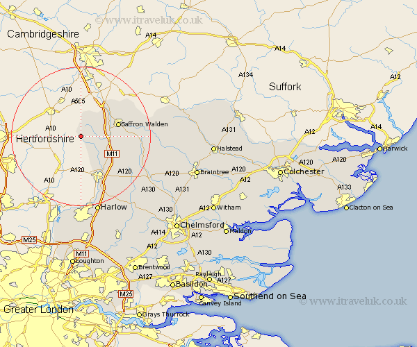
Essex Map Showing Location of Langley
Population: 334
District: Uttlesford
Easting: 544198 Northing: 233778
Latitude: 51.98 Longitude: 0.1
 = Langley
District: Uttlesford
Easting: 544198 Northing: 233778
Latitude: 51.98 Longitude: 0.1
= Langley
This Langley map below is supplied by Google. Use the tools in the top left corner to zoom into street level or zoom out for a road map, you may also need to zoom in to see Langley on the map. Click and drag the map to move around. If the map fails to load try and refresh your browser or zoom in or out (+ or -).
Update - it seems Google no longer allow people to use their maps for free! This Langley map sometimes loads and sometimes gives a error. I am working on a solution.
Closest 30 Towns or Cities to Langley (Population over 500)
Clavering 2.94km Quendon 7.79km Manuden 8.7km Littlebury 9.73km Newport 10.27km Saffron Walden 10.92km Stansted 11.52km Stansted Apt 11.52km Stansted Mountfitchet 11.52km Chesterford 11.52km Great Chesterford 11.52km Debden 11.56km Henham 11.68km Elsenham 11.76km Birchanger 12.5km Wenbech 14.95km Wimbish 14.95km Winebisc 14.95km Gwimbach 14.95km Winbeche 14.95km Wymbyshe 14.95km Wimbeis 14.95km Broxted 15.58km Radwinter 16.08km Ashdon 16.58km Takeley 17.29km Great Hallingbury 17.63km Hallingbury 17.63km Great Easton 18.48km Thaxted 18.64km