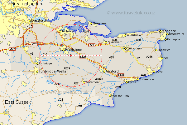
Kent Map Showing Location of Langley
Population: 1128
District: Maidstone
Easting: 580330 Northing: 151462
Latitude: 51.23 Longitude: 0.58
 = Langley
District: Maidstone
Easting: 580330 Northing: 151462
Latitude: 51.23 Longitude: 0.58
= Langley
This Langley map below is supplied by Google. Use the tools in the top left corner to zoom into street level or zoom out for a road map, you may also need to zoom in to see Langley on the map. Click and drag the map to move around. If the map fails to load try and refresh your browser or zoom in or out (+ or -).
Update - it seems Google no longer allow people to use their maps for free! This Langley map sometimes loads and sometimes gives a error. I am working on a solution.
Closest 30 Towns or Cities to Langley (Population over 500)
Leeds 2.32km Sutton Valence 3.7km Bearsted 3.89km Boughton Monchelsea 3.94km Loose 4.64km Linton 5km Hollingbourne 5km Detling 5.56km Ulcombe 5.94km Maidstone 5.94km Boxley 6.03km Harrietsham 6.96km Hunton 7.89km East Barming 8.33km Barming 8.33km Aylesford 8.91km Lenham 9.28km Marden 9.41km Headcorn 9.55km Staplehurst 9.9km Stockbury 10.37km Yalding 10.61km Bredgar 11km East Malling 11.08km Frittenden 11.12km Burham 11.59km Wateringbury 11.75km Egerton 11.84km Borden 12.32km Pluckley 12.87km