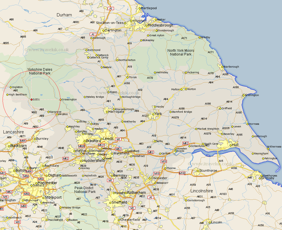
Yorkshire Map Showing Location of Langcliffe
Population: 347
District: Craven
Easting: 382549 Northing: 463471
Latitude: 54.07 Longitude: -2.27
 = Langcliffe
District: Craven
Easting: 382549 Northing: 463471
Latitude: 54.07 Longitude: -2.27
= Langcliffe
This Langcliffe map below is supplied by Google. Use the tools in the top left corner to zoom into street level or zoom out for a road map, you may also need to zoom in to see Langcliffe on the map. Click and drag the map to move around. If the map fails to load try and refresh your browser or zoom in or out (+ or -).
Update - it seems Google no longer allow people to use their maps for free! This Langcliffe map sometimes loads and sometimes gives a error. I am working on a solution.
Closest 30 Towns or Cities to Langcliffe (Population over 500)
Giggleswick 1.86km Long Preston 7.5km Clapham 8.46km Hellifield 9.83km Gargrave 14.3km High Bentham 15.66km Bentham 15.66km Ingleton 15.99km Threshfield 16.42km Grassington 18.49km Burton in Lonsdale 18.9km Earby 19.35km Skipton 19.76km Carleton 20.51km Carlton 20.51km Embsay 21.59km Cononley 23.35km Glusburn 25.45km Bradley 25.69km Hawes 26.3km Sutton-in-Craven 27.55km Silsden 28.61km Steeton 29.06km Addingham 29.12km Keighley 30.66km Bewerley 32.67km Ilkley 33.82km Haworth 34.68km Dacre 35.95km Oxenhope 36.18km