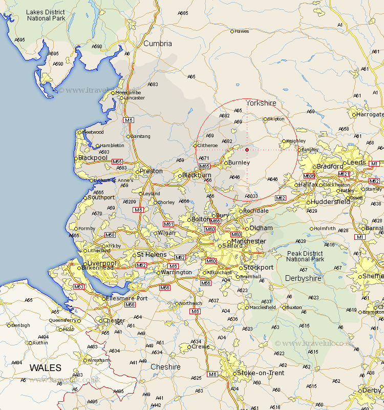
Lancashire Map Showing Location of Laneshaw Bridge
Population: 759
District: Pendle
Easting: 392325 Northing: 439336
Latitude: 53.85 Longitude: -2.12
 = Laneshaw Bridge
District: Pendle
Easting: 392325 Northing: 439336
Latitude: 53.85 Longitude: -2.12
= Laneshaw Bridge
This Laneshaw Bridge map below is supplied by Google. Use the tools in the top left corner to zoom into street level or zoom out for a road map, you may also need to zoom in to see Laneshaw Bridge on the map. Click and drag the map to move around. If the map fails to load try and refresh your browser or zoom in or out (+ or -).
Update - it seems Google no longer allow people to use their maps for free! This Laneshaw Bridge map sometimes loads and sometimes gives a error. I am working on a solution.
Closest 30 Towns or Cities to Laneshaw Bridge (Population over 500)
Laneshaw Bridge 0km Colne 3.28km Foulridge 3.77km Kelbrook 4.3km Nelson 5.77km Salterforth 6.45km Barrowford 6.56km Brierfield 8.5km Barnoldswick 8.61km Burnley 9.46km Gisburn 13.51km Sabden 14.69km Padiham 15.08km Hapton 15.08km Chatburn 15.74km Altham 16.04km Simonstone 17.02km Bacup 17.25km Grindleton 17.31km Accrington 17.9km Clitheroe 18.67km Clayton-le-Moors 19.81km Clayton le Moor 19.81km Clayton le Moors 19.81km Rawtenstall 19.95km Waddington 20.02km Whalley 20.03km Church 20.74km Great Harwood 21.04km Haslingden 21.93km