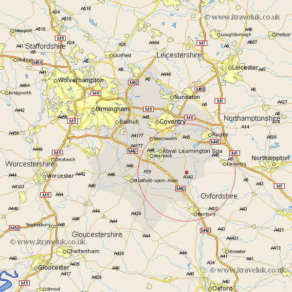
Warwickshire Map Showing Location of Ladbroke
Population: 273
District: Stratford-on-Avon
Easting: 442125 Northing: 257833
Latitude: 52.22 Longitude: -1.38
 = Ladbroke
District: Stratford-on-Avon
Easting: 442125 Northing: 257833
Latitude: 52.22 Longitude: -1.38
= Ladbroke
This Ladbroke map below is supplied by Google. Use the tools in the top left corner to zoom into street level or zoom out for a road map, you may also need to zoom in to see Ladbroke on the map. Click and drag the map to move around. If the map fails to load try and refresh your browser or zoom in or out (+ or -).
Update - it seems Google no longer allow people to use their maps for free! This Ladbroke map sometimes loads and sometimes gives a error. I am working on a solution.
Closest 30 Towns or Cities to Ladbroke (Population over 500)
Southam 3.7km Bishops Itchington 3.88km Napton on the Hill 4.9km Napton-on-the-Hill 4.9km Napton 4.9km Harbury 4.9km Long Itchington 5.56km Stockton 6km Priors Marston 7.06km Fenny Compton 7.42km Lighthorne 8.78km Whitnash 9.81km Bishops Tachbrook 10.38km Kineton 10.88km Leamington Spa 13.78km Royal Leamington Spa 13.78km Leamington 13.78km Wellesbourne Hastings 14.13km Wellesbourne 14.13km Bubbenhall 14.15km Dunchurch 14.64km Barford 14.87km Warwick 15.5km Wolston 16.68km Brandon 16.72km Tysoe 16.83km Church Tysoe 16.83km Middle Tysoe 16.83km Stoneleigh 17.38km Ettington 17.44km