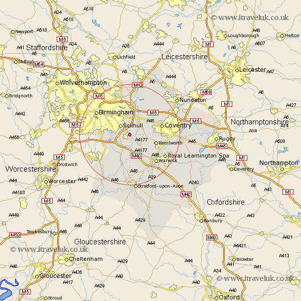
Warwickshire Map Showing Location of Knowle
Population: 16910
Area Size (ha): 590
District: Solihull
Easting: 418148 Northing: 276216
Latitude: 52.38 Longitude: -1.73
 = Knowle
Area Size (ha): 590
District: Solihull
Easting: 418148 Northing: 276216
Latitude: 52.38 Longitude: -1.73
= Knowle
This Knowle map below is supplied by Google. Use the tools in the top left corner to zoom into street level or zoom out for a road map, you may also need to zoom in to see Knowle on the map. Click and drag the map to move around. If the map fails to load try and refresh your browser or zoom in or out (+ or -).
Update - it seems Google no longer allow people to use their maps for free! This Knowle map sometimes loads and sometimes gives a error. I am working on a solution.
Closest 30 Towns or Cities to Knowle (Population over 500)
Temple Balsall 3.86km Hampton in Arden 4.35km Solihull 5.03km Lapworth 5.67km Berkswell 7.04km Berkeswell 7.04km Bickenhill 7.5km Rowington 7.74km Meriden 9.67km Shrewley 10.31km Kenilworth 10.84km Hatton 10.85km Ullenhall 10.86km Henley in Arden 11.35km Water Orton 12.98km Allesley 12.98km Coventry 12.98km Claverdon 13.16km Coleshill 13.17km Castle Bromwich 13.41km Fillongley 13.76km Corley 14.48km Shustoke 14.64km Keresley 14.66km Wootton Wawen 14.99km Warwick 15.08km Stoneleigh 15.17km Birmingham 15.51km Royal Leamington Spa 16.44km Leamington Spa 16.44km