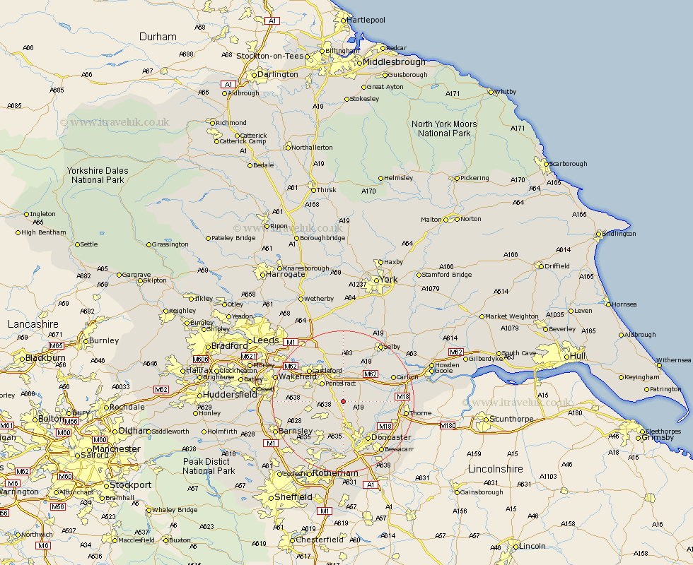
Yorkshire Map Showing Location of Kirk Smeaton
Population: 344
District: Selby
Easting: 451791 Northing: 415508
Latitude: 53.63 Longitude: -1.22
 = Kirk Smeaton
District: Selby
Easting: 451791 Northing: 415508
Latitude: 53.63 Longitude: -1.22
= Kirk Smeaton
This Kirk Smeaton map below is supplied by Google. Use the tools in the top left corner to zoom into street level or zoom out for a road map, you may also need to zoom in to see Kirk Smeaton on the map. Click and drag the map to move around. If the map fails to load try and refresh your browser or zoom in or out (+ or -).
Update - it seems Google no longer allow people to use their maps for free! This Kirk Smeaton map sometimes loads and sometimes gives a error. I am working on a solution.
Closest 30 Towns or Cities to Kirk Smeaton (Population over 500)
Norton 2.2km North Elmsall 2.87km Campsall 2.87km Darrington 4.32km Upton 4.77km Sutton 4.96km Badsworth 5.8km Askern 5.8km Whitley 7.09km South Elmsall 7.09km South Kirkby 7.29km Knottingly 7.5km Knottingley 7.5km Adwick le Street 7.73km Carcroft 7.73km Pontefract 7.81km Moorthorpe 7.82km High Ackworth 7.91km Ackworth Moor Top 7.91km Ackworth 7.91km Hemsworth 9.54km Brodsworth 9.83km Brotherton 9.84km Pollington 10.56km Hensall 10.68km Fitzwilliam 10.99km Bentley 11.96km Featherstone 12.36km Barnby Don 12.36km Barnby Dun 12.36km