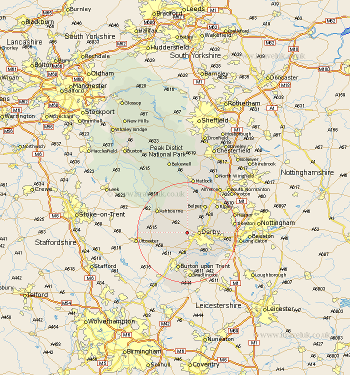
Derbyshire Map Showing Location of Kirk Langley
Population: 619
District: Amber Valley
Easting: 429122 Northing: 337445
Latitude: 52.93 Longitude: -1.57
 = Kirk Langley
District: Amber Valley
Easting: 429122 Northing: 337445
Latitude: 52.93 Longitude: -1.57
= Kirk Langley
This Kirk Langley map below is supplied by Google. Use the tools in the top left corner to zoom into street level or zoom out for a road map, you may also need to zoom in to see Kirk Langley on the map. Click and drag the map to move around. If the map fails to load try and refresh your browser or zoom in or out (+ or -).
Update - it seems Google no longer allow people to use their maps for free! This Kirk Langley map sometimes loads and sometimes gives a error. I am working on a solution.
Closest 30 Towns or Cities to Kirk Langley (Population over 500)
Brailsford 3.83km Derby 4.47km Quarndon 4.84km Burnaston 5.56km Duffield 6.71km Etwall 7.74km Breadsall 7.82km Little Eaton 8.04km Findern 9.53km Holbrook 9.99km Church Broughton 10.53km Willington 11.18km Repton 11.18km Egginton 11.34km Kilbourn 11.61km Kilburn 11.61km Kilbourne 11.61km Borrowash 12.84km Belper 12.98km Newton Solney 13.01km Smalley 13.48km Heage 13.59km Scropton 13.68km Ambergate 14.12km Ambergate Junction Station 14.12km Clifton 14.34km Sudbury 14.35km Ashbourne 14.51km Denby 14.51km Dale Abbey 14.52km