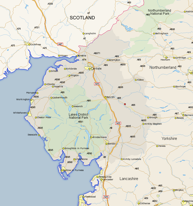
Cumbria Map Showing Location of Kirkby Thore
Population: 731
District: Eden
Easting: 364486 Northing: 524768
Latitude: 54.62 Longitude: -2.55
 = Kirkby Thore
District: Eden
Easting: 364486 Northing: 524768
Latitude: 54.62 Longitude: -2.55
= Kirkby Thore
This Kirkby Thore map below is supplied by Google. Use the tools in the top left corner to zoom into street level or zoom out for a road map, you may also need to zoom in to see Kirkby Thore on the map. Click and drag the map to move around. If the map fails to load try and refresh your browser or zoom in or out (+ or -).
Update - it seems Google no longer allow people to use their maps for free! This Kirkby Thore map sometimes loads and sometimes gives a error. I am working on a solution.
Closest 30 Towns or Cities to Kirkby Thore (Population over 500)
Long Marston 2.84km Long Marton 2.84km Culgaith 4.91km Appleby 7.03km Langwathby 10.54km Crosby Ravensworth 11.33km Shap 13.42km Lasonby 16.16km Lazonby 16.16km Orton 16.72km Dacre 18.24km Kirkoswald 19.26km Brough 19.58km Greystoke 20.72km Kirkby Stephen 21.09km Tebay 22.34km Skelton 22.38km Ainstable 23.54km Ravenstonedale 23.85km Wetheral 32.65km Hesket Newmarket 32.69km Staveley 32.7km Sedbergh 33.43km Milnthorpe 33.43km Millthrop 33.43km Hayton 34.02km Farlam 34.44km Caldbeck 34.66km Ambleside 34.9km Kendall 35.77km