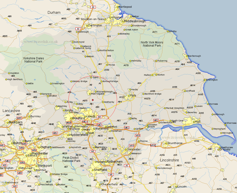
Yorkshire Map Showing Location of Kirkby Overblow
Population: 476
District: Harrogate
Easting: 432823 Northing: 448713
Latitude: 53.93 Longitude: -1.5
 = Kirkby Overblow
District: Harrogate
Easting: 432823 Northing: 448713
Latitude: 53.93 Longitude: -1.5
= Kirkby Overblow
This Kirkby Overblow map below is supplied by Google. Use the tools in the top left corner to zoom into street level or zoom out for a road map, you may also need to zoom in to see Kirkby Overblow on the map. Click and drag the map to move around. If the map fails to load try and refresh your browser or zoom in or out (+ or -).
Update - it seems Google no longer allow people to use their maps for free! This Kirkby Overblow map sometimes loads and sometimes gives a error. I am working on a solution.
Closest 30 Towns or Cities to Kirkby Overblow (Population over 500)
Pannal 2.86km Harewood 3.7km Weeton 4.74km Harrogate 5.97km East Keswick 7.07km Bardsey 7.07km Arthington Junction Station 7.52km Arthington 7.52km Collingham 7.52km Knaresborough 7.73km Wetherby 7.86km Scarcroft 8.1km Pool 8.49km Poole 8.49km Pool-in-Wharfedale 8.49km Bramhope 9.45km Killinghall 9.83km Boston Spa 10.5km Thorner 10.75km Thorp Arch 11.07km Thorpe Arch 11.07km Bramham 11.29km Hampsthwaite 11.35km Otley 12.56km Yeadon 13.19km Birstwith 13.49km Scholes 14.07km Horsforth 14.14km Kirk Hammerton 14.22km Hammerton 14.22km