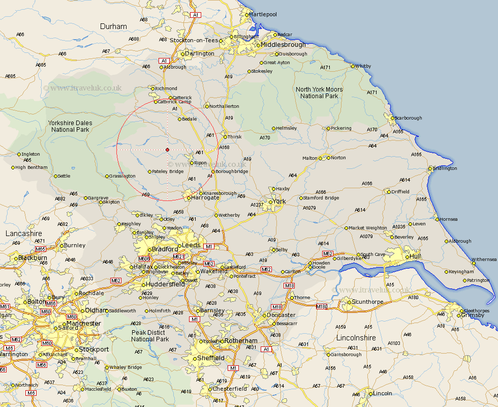
Yorkshire Map Showing Location of Kirkby Malzeard
Population: 782
District: Harrogate
Easting: 422848 Northing: 474620
Latitude: 54.17 Longitude: -1.65
 = Kirkby Malzeard
District: Harrogate
Easting: 422848 Northing: 474620
Latitude: 54.17 Longitude: -1.65
= Kirkby Malzeard
This Kirkby Malzeard map below is supplied by Google. Use the tools in the top left corner to zoom into street level or zoom out for a road map, you may also need to zoom in to see Kirkby Malzeard on the map. Click and drag the map to move around. If the map fails to load try and refresh your browser or zoom in or out (+ or -).
Update - it seems Google no longer allow people to use their maps for free! This Kirkby Malzeard map sometimes loads and sometimes gives a error. I am working on a solution.
Closest 30 Towns or Cities to Kirkby Malzeard (Population over 500)
Kirkby Malzeard 0km Grewelthorpe 1.85km Masham 5.56km West Tanfield 6.57km Tanfield 6.57km Ripon 10.31km Bewerley 11.99km Bishop Monkton 13.47km Monkton 13.47km Bedale 13.67km Dacre 13.69km Burton Leonard 14.81km Crakehall 14.98km Birstwith 14.99km Darley 15.19km Dishforth 15.31km Middleham 16.9km Hampsthwaite 17km Topcliffe 17.45km Killinghall 17.91km Leyburn 18.36km Boroughbridge 18.75km Bradley 21.34km Thirsk 21.34km Marton 21.56km Marton le Moor 21.56km Harrogate 21.77km Knaresborough 22.06km Catterick 22.26km Northallerton 23.27km