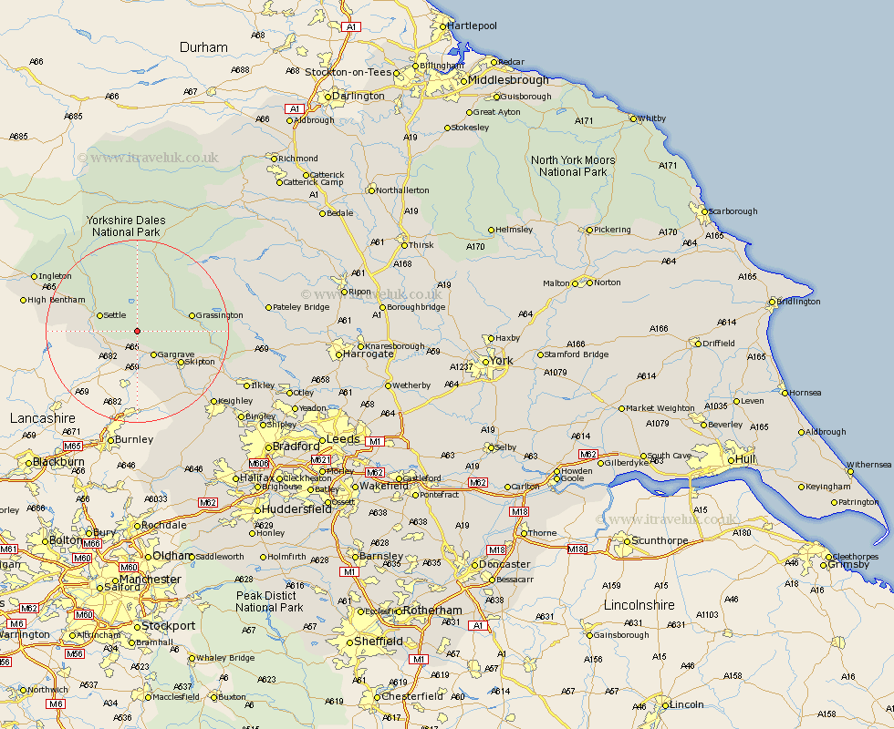
Yorkshire Map Showing Location of Kirkby Malham
Population: 100
District: Craven
Easting: 390176 Northing: 459732
Latitude: 54.03 Longitude: -2.15
 = Kirkby Malham
District: Craven
Easting: 390176 Northing: 459732
Latitude: 54.03 Longitude: -2.15
= Kirkby Malham
This Kirkby Malham map below is supplied by Google. Use the tools in the top left corner to zoom into street level or zoom out for a road map, you may also need to zoom in to see Kirkby Malham on the map. Click and drag the map to move around. If the map fails to load try and refresh your browser or zoom in or out (+ or -).
Update - it seems Google no longer allow people to use their maps for free! This Kirkby Malham map sometimes loads and sometimes gives a error. I am working on a solution.
Closest 30 Towns or Cities to Kirkby Malham (Population over 500)
Gargrave 6.45km Hellifield 7.06km Long Preston 7.51km Giggleswick 7.84km Settle 8.47km Threshfield 8.9km Skipton 11.44km Grassington 11.5km Carleton 12.9km Carlton 12.9km Earby 13.15km Embsay 13.17km Cononley 15.62km Clapham 16.94km Glusburn 17.78km Sutton-in-Craven 19.93km Silsden 20.51km Addingham 20.68km Steeton 21.2km Keighley 22.61km Bradley 23.63km High Bentham 24.01km Bentham 24.01km Ingleton 24.39km Ilkley 25.36km Bewerley 25.63km Burton in Lonsdale 27.37km Haworth 27.41km Dacre 28.35km Oxenhope 29.06km