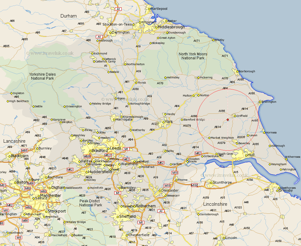
Yorkshire Map Showing Location of Kirkburn
Population: 492
Easting: 498350 Northing: 455201
Latitude: 53.98 Longitude: -0.5
 = Kirkburn
Easting: 498350 Northing: 455201
Latitude: 53.98 Longitude: -0.5
= Kirkburn
This Kirkburn map below is supplied by Google. Use the tools in the top left corner to zoom into street level or zoom out for a road map, you may also need to zoom in to see Kirkburn on the map. Click and drag the map to move around. If the map fails to load try and refresh your browser or zoom in or out (+ or -).
Update - it seems Google no longer allow people to use their maps for free! This Kirkburn map sometimes loads and sometimes gives a error. I am working on a solution.
Closest 30 Towns or Cities to Kirkburn (Population over 500)
North Frodingham 2.14km Wetwang 4.74km Driffield 5.08km Cranswick 5.72km Nafferton 8.48km Lockington 9.33km Kilham 11.44km Cherry Burton 12.97km Leconfield 13.37km Leckonfield 13.37km Great Driffield 13.69km Brandesburton 15.04km Brandsburton 15.04km Tickton 15.05km Beeford 15.37km Leven 16.36km Bishop Burton 16.68km Dunnington 16.77km Market Weighton 16.95km Pocklington 17.28km Beverley 17.55km Skipsea 18.62km Woodmansey 20.04km Sherburn 20.42km Barmby 21.45km Barmby-on-the-Moor 21.45km Barmby on the Moor 21.45km Fangfoss 21.88km Skidby 22.35km Willerby 22.48km