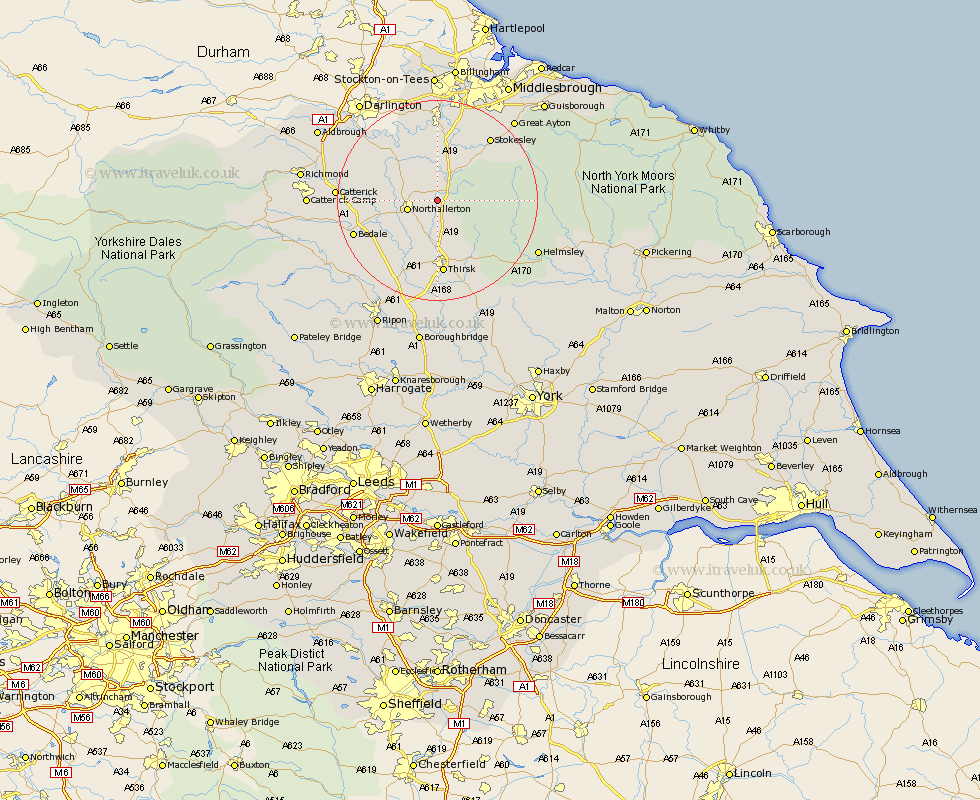
Yorkshire Map Showing Location of Kirby Sigston
Population: 78
District: Hambleton
Easting: 442244 Northing: 495151
Latitude: 54.35 Longitude: -1.35
 = Kirby Sigston
District: Hambleton
Easting: 442244 Northing: 495151
Latitude: 54.35 Longitude: -1.35
= Kirby Sigston
This Kirby Sigston map below is supplied by Google. Use the tools in the top left corner to zoom into street level or zoom out for a road map, you may also need to zoom in to see Kirby Sigston on the map. Click and drag the map to move around. If the map fails to load try and refresh your browser or zoom in or out (+ or -).
Update - it seems Google no longer allow people to use their maps for free! This Kirby Sigston map sometimes loads and sometimes gives a error. I am working on a solution.
Closest 30 Towns or Cities to Kirby Sigston (Population over 500)
Osmotherley 3.73km Brompton 4.32km Northallerton 5.71km Whorlton 9.85km Cowton 14km East Cowton 14km Middleton 14.05km Middleton upon Leven 14.05km North Cowton 14.1km Thirsk 14.86km Seamer 15.58km Stokesley 16.2km Great Broughton 16.26km Scorton 16.61km Bedale 16.85km Crakehall 18.16km Catterick 18.45km Ingleby 18.65km Topcliffe 18.66km Helmsley 21.49km Great Ayton 21.79km Tanfield 21.82km West Tanfield 21.82km Middleton Tyas 22.38km Ampleforth 22.53km Dishforth 22.66km Barton 23.35km Masham 24.47km Raskelf 24.96km Richmond 25.44km