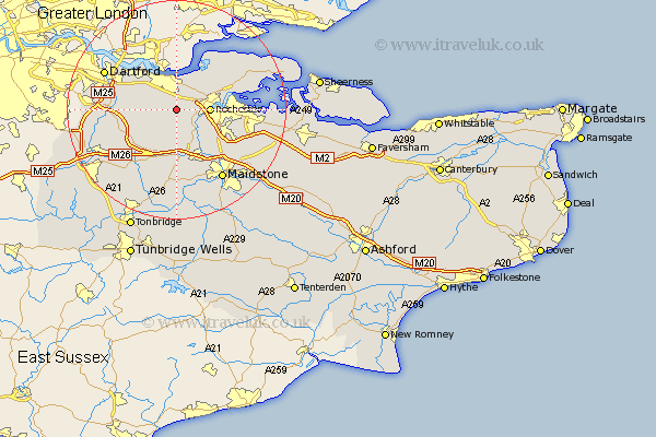
Kent Map Showing Location of Cobham
Population: 1456
District: Gravesham
Easting: 566988 Northing: 167705
Latitude: 51.38 Longitude: 0.4
 = Cobham
District: Gravesham
Easting: 566988 Northing: 167705
Latitude: 51.38 Longitude: 0.4
= Cobham
This Cobham map below is supplied by Google. Use the tools in the top left corner to zoom into street level or zoom out for a road map, you may also need to zoom in to see Cobham on the map. Click and drag the map to move around. If the map fails to load try and refresh your browser or zoom in or out (+ or -).
Update - it seems Google no longer allow people to use their maps for free! This Cobham map sometimes loads and sometimes gives a error. I am working on a solution.
Closest 30 Towns or Cities to Cobham (Population over 500)
Meopham 2.96km Shorne 2.97km Cuxton 5.08km Longfield 5.78km Rochester 6.02km Gravesend 6.02km Hartley 6.07km Southfleet 6.07km Strood 6.94km Northfleet 7.23km Higham 7.23km Wouldham 7.23km Snodland 7.76km Ash 7.87km Swanscombe 8.02km Ridley 8.02km Chatham 8.1km Ryarsh 9.33km Burham 9.4km Stonewood 9.82km Wrotham 10.92km West Malling 11.12km Addington 11.12km Offham 11.36km Gillingham 11.5km Hoo 11.71km High Halstow 11.8km West Kingsdown 11.8km Darenth 12.14km Aylesford 12.54km