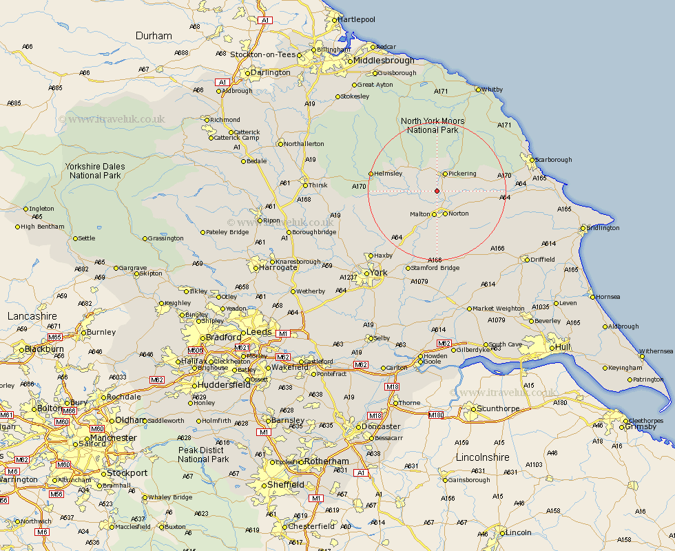
Yorkshire Map Showing Location of Kirby Misperton
Population: 318
District: Ryedale
Easting: 478272 Northing: 478933
Latitude: 54.2 Longitude: -0.8
 = Kirby Misperton
District: Ryedale
Easting: 478272 Northing: 478933
Latitude: 54.2 Longitude: -0.8
= Kirby Misperton
This Kirby Misperton map below is supplied by Google. Use the tools in the top left corner to zoom into street level or zoom out for a road map, you may also need to zoom in to see Kirby Misperton on the map. Click and drag the map to move around. If the map fails to load try and refresh your browser or zoom in or out (+ or -).
Update - it seems Google no longer allow people to use their maps for free! This Kirby Misperton map sometimes loads and sometimes gives a error. I am working on a solution.
Closest 30 Towns or Cities to Kirby Misperton (Population over 500)
Pickering 5.97km Thornton-le-Dale 6.56km Thornton Dale 6.56km Norton 7.37km Malton 7.45km Rillington 8.56km Slingsby 9.41km Kirkby Moorside 11.41km Kirby Moorside 11.41km Yedingham 11.93km Nawton 12.48km Snainton 14.21km Terrington 14.27km Brompton 16.36km Helmsley 18.2km Sheriff Hutton 18.39km Sherburn 18.81km Ampleforth 20.6km Strensall 22.57km Willerby 22.85km Stillington 23.43km Seamer 24.13km Stamford Bridge 25.27km Huby 25.29km Scalby 25.56km Fangfoss 26.03km Eastfield 26.27km Great Driffield 26.34km Haxby 26.79km Wigginton 26.79km