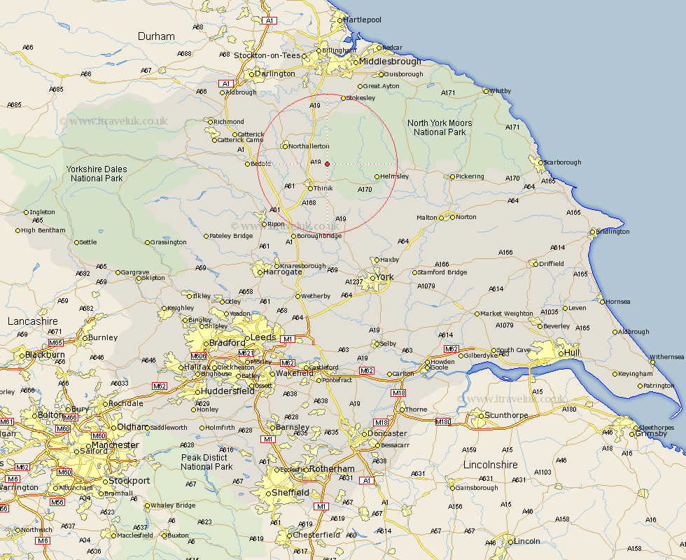
Yorkshire Map Showing Location of Kirby Knowle
District: Hambleton
Easting: 447737 Northing: 487783
Latitude: 54.28 Longitude: -1.27
 = Kirby Knowle
Easting: 447737 Northing: 487783
Latitude: 54.28 Longitude: -1.27
= Kirby Knowle
This Kirby Knowle map below is supplied by Google. Use the tools in the top left corner to zoom into street level or zoom out for a road map, you may also need to zoom in to see Kirby Knowle on the map. Click and drag the map to move around. If the map fails to load try and refresh your browser or zoom in or out (+ or -).
Update - it seems Google no longer allow people to use their maps for free! This Kirby Knowle map sometimes loads and sometimes gives a error. I am working on a solution.
Closest 30 Towns or Cities to Kirby Knowle (Population over 500)
Thirsk 8.58km Osmotherley 9.52km Northallerton 12.16km Brompton 12.23km Ampleforth 13.45km Topcliffe 13.46km Helmsley 13.51km Whorlton 14.87km Raskelf 16.71km Dishforth 17.74km Easingwold 19.03km Nawton 19.22km Great Broughton 19.64km Ingleby 19.87km Middleton upon Leven 20.39km Middleton 20.39km Bedale 20.55km Seamer 20.65km Stokesley 20.84km West Tanfield 21.58km Tanfield 21.58km Kirkby Moorside 21.72km Kirby Moorside 21.72km Alne 22.34km North Cowton 22.49km Stillington 22.6km Cowton 22.77km East Cowton 22.77km Crakehall 22.79km Boroughbridge 23.87km