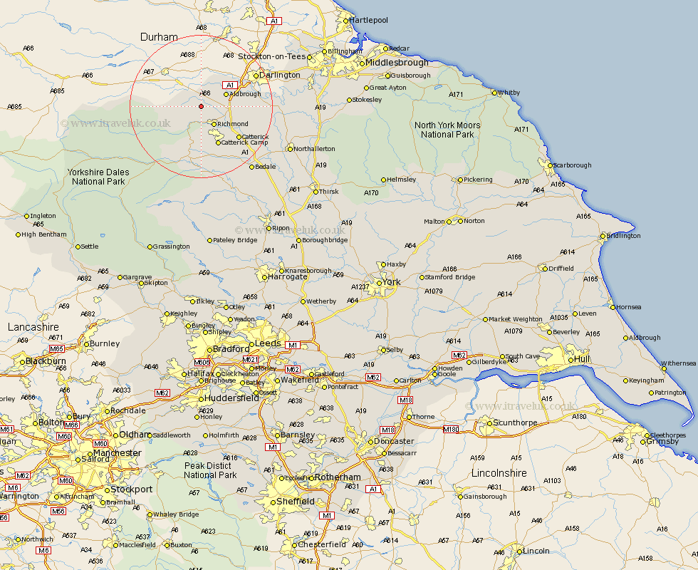
Yorkshire Map Showing Location of Kirby Hill
Population: 59
District: Richmondshire
Easting: 414047 Northing: 506103
Latitude: 54.45 Longitude: -1.78
 = Kirby Hill
District: Richmondshire
Easting: 414047 Northing: 506103
Latitude: 54.45 Longitude: -1.78
= Kirby Hill
This Kirby Hill map below is supplied by Google. Use the tools in the top left corner to zoom into street level or zoom out for a road map, you may also need to zoom in to see Kirby Hill on the map. Click and drag the map to move around. If the map fails to load try and refresh your browser or zoom in or out (+ or -).
Update - it seems Google no longer allow people to use their maps for free! This Kirby Hill map sometimes loads and sometimes gives a error. I am working on a solution.
Closest 30 Towns or Cities to Kirby Hill (Population over 500)
Gilling 4.69km Richmond 6.43km Melsonby 7.45km Middleton Tyas 8.62km Barton 8.82km Catterick 13.42km Scorton 13.99km North Cowton 16.09km Cowton 16.59km East Cowton 16.59km Leyburn 16.82km Middleham 18.66km Crakehall 19.87km Bedale 22.62km Northallerton 26.11km Brompton 26.21km Masham 27.34km Bradley 28.53km Grewelthorpe 30.89km Tanfield 31.15km West Tanfield 31.15km Hawes 31.72km Osmotherley 32.62km Kirkby Malzeard 32.67km Middleton upon Leven 33.45km Middleton 33.45km Whorlton 34.69km Seamer 36.67km Stokesley 37.75km Thirsk 39.04km