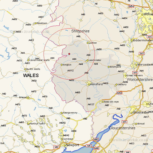
Herefordshire Map Showing Location of Kinsham
Population: 71
Easting: 336338 Northing: 265471
Latitude: 52.28 Longitude: -2.93
 = Kinsham
Easting: 336338 Northing: 265471
Latitude: 52.28 Longitude: -2.93
= Kinsham
This Kinsham map below is supplied by Google. Use the tools in the top left corner to zoom into street level or zoom out for a road map, you may also need to zoom in to see Kinsham on the map. Click and drag the map to move around. If the map fails to load try and refresh your browser or zoom in or out (+ or -).
Update - it seems Google no longer allow people to use their maps for free! This Kinsham map sometimes loads and sometimes gives a error. I am working on a solution.
Closest 30 Towns or Cities to Kinsham (Population over 500)
Shobdon 5.86km Wigmore 6.77km Pembridge 7.75km Croft 9.07km Eardisland 9.33km Kingsland 9.8km Lyonshall 9.87km Leintwardine 10.32km Kington 10.86km Dilwyn 12.01km Orleton 12.61km Luston 12.61km Weobley 13.74km Leominster 14.7km Almeley 15.21km Brimfield 15.98km Eardisley 17.29km Wellington 20.84km Credenhill 22.32km Bodenham 22.58km Burghill 23.33km Clifford 23.34km Moreton-on-Lugg 24.52km Moreton on Lugg 24.52km Moreton 24.52km Sutton 26.57km Peterchurch 27.82km Madley 28.37km Withington 28.87km Hereford 29.86km