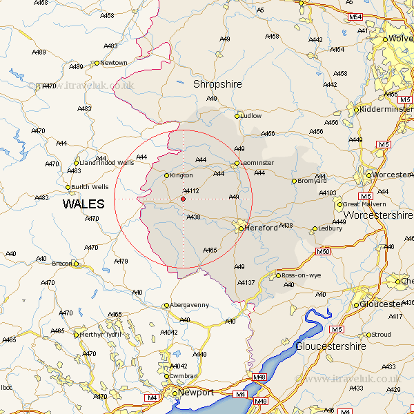
Herefordshire Map Showing Location of Kinnersley
Population: 170
Easting: 334982 Northing: 248804
Latitude: 52.13 Longitude: -2.95
 = Kinnersley
Easting: 334982 Northing: 248804
Latitude: 52.13 Longitude: -2.95
= Kinnersley
This Kinnersley map below is supplied by Google. Use the tools in the top left corner to zoom into street level or zoom out for a road map, you may also need to zoom in to see Kinnersley on the map. Click and drag the map to move around. If the map fails to load try and refresh your browser or zoom in or out (+ or -).
Update - it seems Google no longer allow people to use their maps for free! This Kinnersley map sometimes loads and sometimes gives a error. I am working on a solution.
Closest 30 Towns or Cities to Kinnersley (Population over 500)
Almeley 2.94km Eardisley 3.41km Weobley 6.79km Lyonshall 7.76km Dilwyn 7.95km Kington 8.7km Pembridge 9.88km Clifford 10.89km Credenhill 10.89km Peterchurch 11.12km Eardisland 11.51km Madley 13.05km Burghill 13.05km Wellington 13.65km Shobdon 14.17km Kingstone 15.22km Moreton-on-Lugg 15.25km Moreton on Lugg 15.25km Moreton 15.25km Kingsland 16.52km Allensmore 17.26km Bodenham 18.29km Hereford 18.44km Leominster 18.49km Sutton 18.58km Bullingham 19.44km Croft 19.56km Luston 20.14km Ewyas Harold 20.89km Wigmore 21.5km