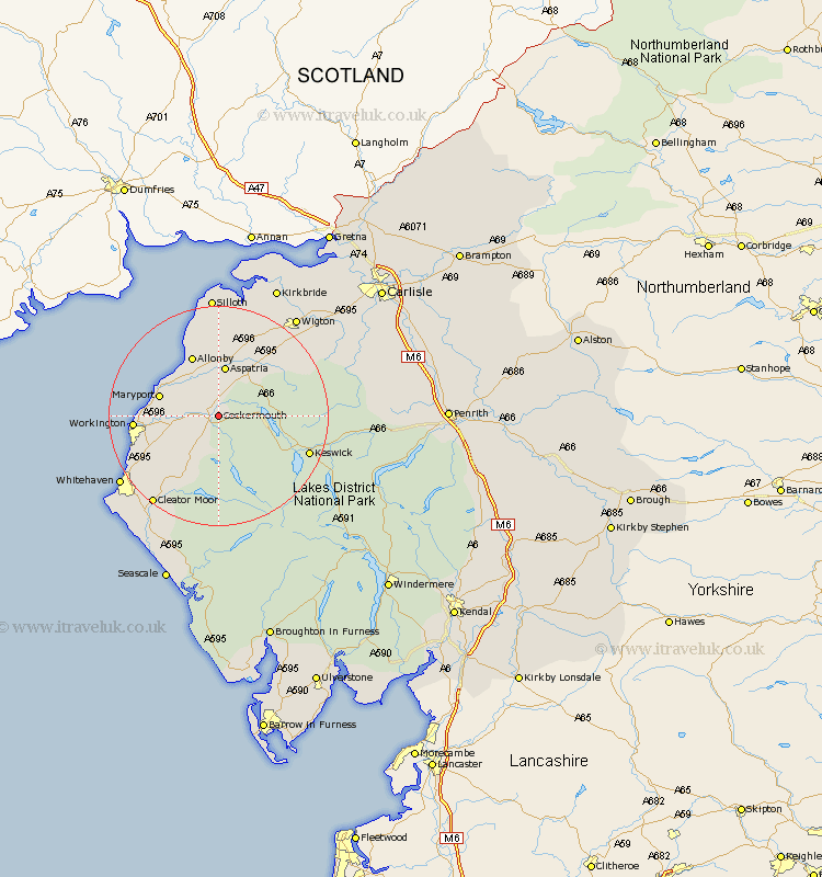
Cumbria Map Showing Location of Cockermouth
Population: 7551
Area Size (ha): 202
District: Allerdale
Easting: 312939 Northing: 531029
Latitude: 54.67 Longitude: -3.35
 = Cockermouth
Area Size (ha): 202
District: Allerdale
Easting: 312939 Northing: 531029
Latitude: 54.67 Longitude: -3.35
= Cockermouth
This Cockermouth map below is supplied by Google. Use the tools in the top left corner to zoom into street level or zoom out for a road map, you may also need to zoom in to see Cockermouth on the map. Click and drag the map to move around. If the map fails to load try and refresh your browser or zoom in or out (+ or -).
Update - it seems Google no longer allow people to use their maps for free! This Cockermouth map sometimes loads and sometimes gives a error. I am working on a solution.
Closest 30 Towns or Cities to Cockermouth (Population over 500)
Bridekirk 2.13km Brigham 4.67km Dearham 6.51km Broughton Moor 7.73km Crosscanonby 9.14km Dean 9.15km Aspatria 9.32km Maryport 10.33km Flimby 10.87km Lamplugh 11.58km Workington 14.06km Distington 15.01km Bromfield 15.76km Keswick 16.75km Koswick 16.75km Frizington 17.14km Lowca 17.65km Parton 18.69km Westward 19.02km Cleator Moor 19.84km Caldbeck 20.65km Whitehaven 20.68km Silloth 22.27km Wigton 22.54km Hesket Newmarket 22.66km Egremont 24.7km Saint Bega 25.28km St. Bega 25.28km St Bega 25.28km St. Bees 25.28km