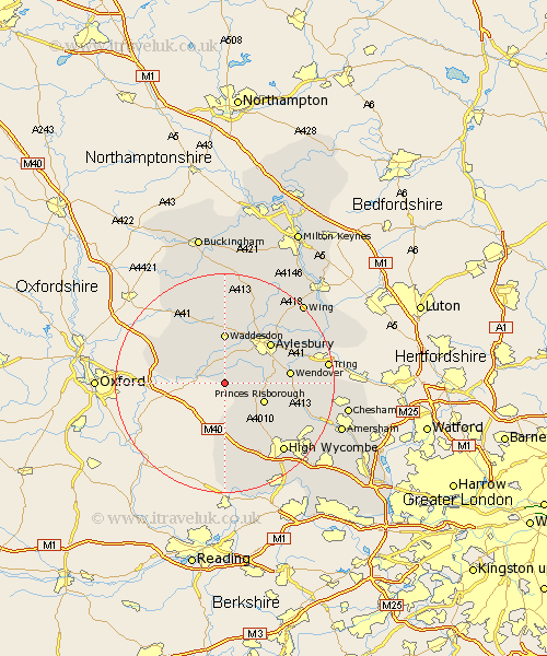
Buckinghamshire Map Showing Location of Kingsey
Population: 150
District: Aylesbury Vale
Easting: 474776 Northing: 206306
Latitude: 51.75 Longitude: -0.92
 = Kingsey
District: Aylesbury Vale
Easting: 474776 Northing: 206306
Latitude: 51.75 Longitude: -0.92
= Kingsey
This Kingsey map below is supplied by Google. Use the tools in the top left corner to zoom into street level or zoom out for a road map, you may also need to zoom in to see Kingsey on the map. Click and drag the map to move around. If the map fails to load try and refresh your browser or zoom in or out (+ or -).
Update - it seems Google no longer allow people to use their maps for free! This Kingsey map sometimes loads and sometimes gives a error. I am working on a solution.
Closest 30 Towns or Cities to Kingsey (Population over 500)
Haddenham 1.86km Chearsley 2.95km Cuddington 3.7km Long Crendon 4.95km Longwick 4.95km Bledlow 5.06km Stone 7.21km Princes Risborough 7.82km Radnage 8.18km Great Kimble 8.24km Kimble 8.24km Ellesborough 9.18km Waddesdon 9.26km Stoke Mandeville 9.89km Worminghall 10.49km Warminghall 10.49km Aylesbury 10.93km Stokenchurch 11.18km Wendover 11.62km Oakley 11.72km Brill 11.79km Weston Turville 12.05km Quainton 12.97km Halton 13.15km Bradenham 13.72km Prestwood 13.8km Grendon Underwood 14.18km Buckland 14.84km Aston Clinton 14.84km North Marston 15.22km